Bayan-Olgii (Баян-Өлгий аймаг)· Алтай Таван Богд байгалийн цогцолборт газар
Altai Tavan Bogd National Park
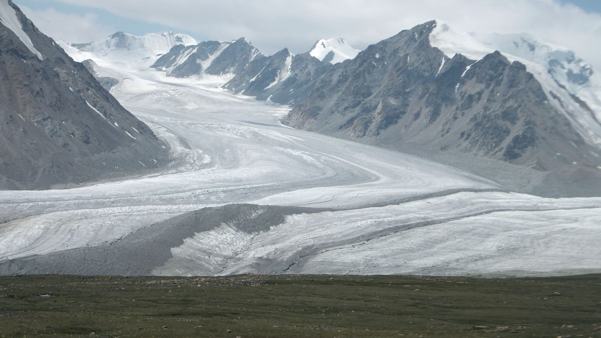
Altai Tavan Bogd protects Mongolia's highest corner, a 6,362 km2 block of glaciated peaks, cold blue lakes and Kazakh and Tuvan summer pastures against the Russian and Chinese borders. Its centrepiece is the Tavan Bogd, the 'Five Saints' massif, topped by Khuiten Peak on the Mongolia-China boundary, with the Potanin Glacier - Mongolia's longest at about 14 km - running below it. South of the peaks the freshwater lakes Khoton, Khurgan and Dayan sit in wide valleys used by herding families, and the Tsagaan Salaa valley holds thousands of Bronze Age rock carvings inscribed by UNESCO. Nothing here is quick: reaching the base camp means a long day on dirt from Olgii, and the mountain itself needs guides, permits and crampons.
- From Ulaanbaatar
- 1,620 km
- Drive time
- 2-3 days to Olgii (about 21 hours of driving), then 6-9 hours more on dirt from Olgii to the park
- Typical stay
- 6-9 nights in the region, of which 3-5 in the park; 10-14 if climbing
- Best months
- Jun–Sep
- Jan: not a best month
- Feb: not a best month
- Mar: not a best month
- Apr: not a best month
- May: not a best month
- Jun: a best month
- Jul: a best month
- Aug: a best month
- Sep: a best month
- Oct: not a best month
- Nov: not a best month
- Dec: not a best month
Highlights
- Tavan Bogd base camp and the viewpoint over the Potanin Glacier, about 14 km long, the longest in Mongolia
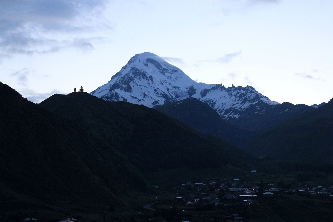
- Khuiten Peak, Mongolia's highest summit, on the border with China and close to the Russia-Mongolia-China tripoint
- The Mongolian Altai petroglyphs, over 10,000 carvings along roughly 15 km of river valley, a UNESCO World Heritage site
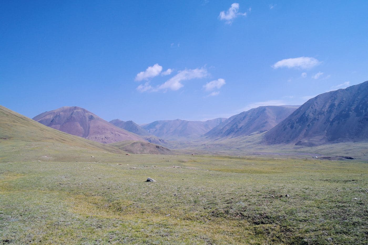
- Khoton and Khurgan lakes, linked by a short 2 km channel, with larch forest and herder camps on the shores
- Dayan Lake, an Important Bird Area since 2009, frozen from October to June
- Kazakh and Tuvan summer camps in the valleys, where eagle hunters keep their birds out of season
- Malchin Peak, the one summit in the massif usually climbed without technical gear
- Bronze Age burial mounds, deer stones and Turkic stone figures scattered across the valleys
Season notes
The park is realistically open from mid-June to mid-September. Snow blocks the high passes into the base-camp valley until June and returns from late September. July and August are the warmest and the only sensible window for the glacier and the peaks; August sees the most stable weather for climbing. Dayan Lake is frozen from October to June. Snow can fall in any summer month at altitude, and afternoon storms are common on the massif.
From Ulaanbaatar
Mostly paved as far as Olgii, but it is the longest road journey in the country; routing engines give about 1,619 km. Beyond Olgii, Wikivoyage notes there are effectively no paved roads outside the city, and the tracks to Tsengel, the lakes and the Tavan Bogd base area are dirt, rough and cross rivers. A high-clearance 4x4 with a local driver is not optional.
By air
Fly Ulaanbaatar-Olgii; Aero Mongolia and other carriers serve Olgii Airport (ULG) several days a week with an expanded summer schedule, and Wikivoyage warns that summer flights sell out, so book early. Olgii also has irregular links to Khovd, Ulaangom, Murun and occasionally Almaty. The daily bus from Ulaanbaatar costs 80,000 MNT and takes at least 30 hours (36-48 hours is commonly quoted).
Where to stay
- Ger camps around Olgii and in the park valleys, open roughly May-October; Wikivoyage lists about USD 20 single, USD 10 per person double, and USD 5-7 per person for three or more beds, with higher prices in festival week (retrieved September 2026)
- Hotels in Olgii for the nights either side: simple rooms about 30,000 MNT, semi-deluxe 45,000 MNT, deluxe 60,000 MNT (Wikivoyage, retrieved September 2026)
- Homestays in Kazakh and Tuvan family gers in the lakes area, usually arranged through an operator
- Own tent at Tavan Bogd base camp; there is no built accommodation at the glacier
Be aware
Sources (7)
- Altai Tavan Bogd National Park - Wikipedia — 6,362 km2 area, established 1996, the three lakes, wildlife list, petroglyphs inside the park with over 10,000 carvings over 15 km of valley
- Khuiten Peak - Wikipedia — Peak height of 4,356 m on that article, Mongolian name Хүйтэн оргил, position on the China-Mongolia border, tripoint 2.5 km north, year-round snow
- Wikipedia extracts for Potanin Glacier and Khoton Lake — Potanin Glacier about 14 km, the longest in Mongolia; Khoton Lake in Tsengel district, Bayan-Olgii
- Wikipedia coordinates and extracts for the Altai Tavan Bogd lakes — Khoton Lake 48.65 N, 88.30 E; Khurgan Lake 48.55 N, 88.61 E joined to Khoton by a 2 km channel; Dayan Lake 48.36 N, 88.83 E, an Important Bird Area since 2009 and frozen October-June
- Olgii - Wikivoyage (via MediaWiki API extract) — Park permit 3,000 MNT at the Olgii visitor centre, Chinese and Russian border permits, 630,000 ha and 4,374 m figures, ger camp and hotel prices, bus 80,000 MNT and at least 30 hours, water filtering advice, dry Friday
- Wikipedia extract for Tavan Bogd — The five peaks - Khuiten, Nairamdal, Malchin, Burged and Olgii - and the 4,374 m figure for Khuiten
- OSRM driving distance table from Ulaanbaatar — About 1,619 km and 21 hours of driving from Ulaanbaatar to Olgii
Often combined with
Bayan-Olgii Kazakh eagle hunters and the eagle festivals
Bayan-Olgii · 1,620 km
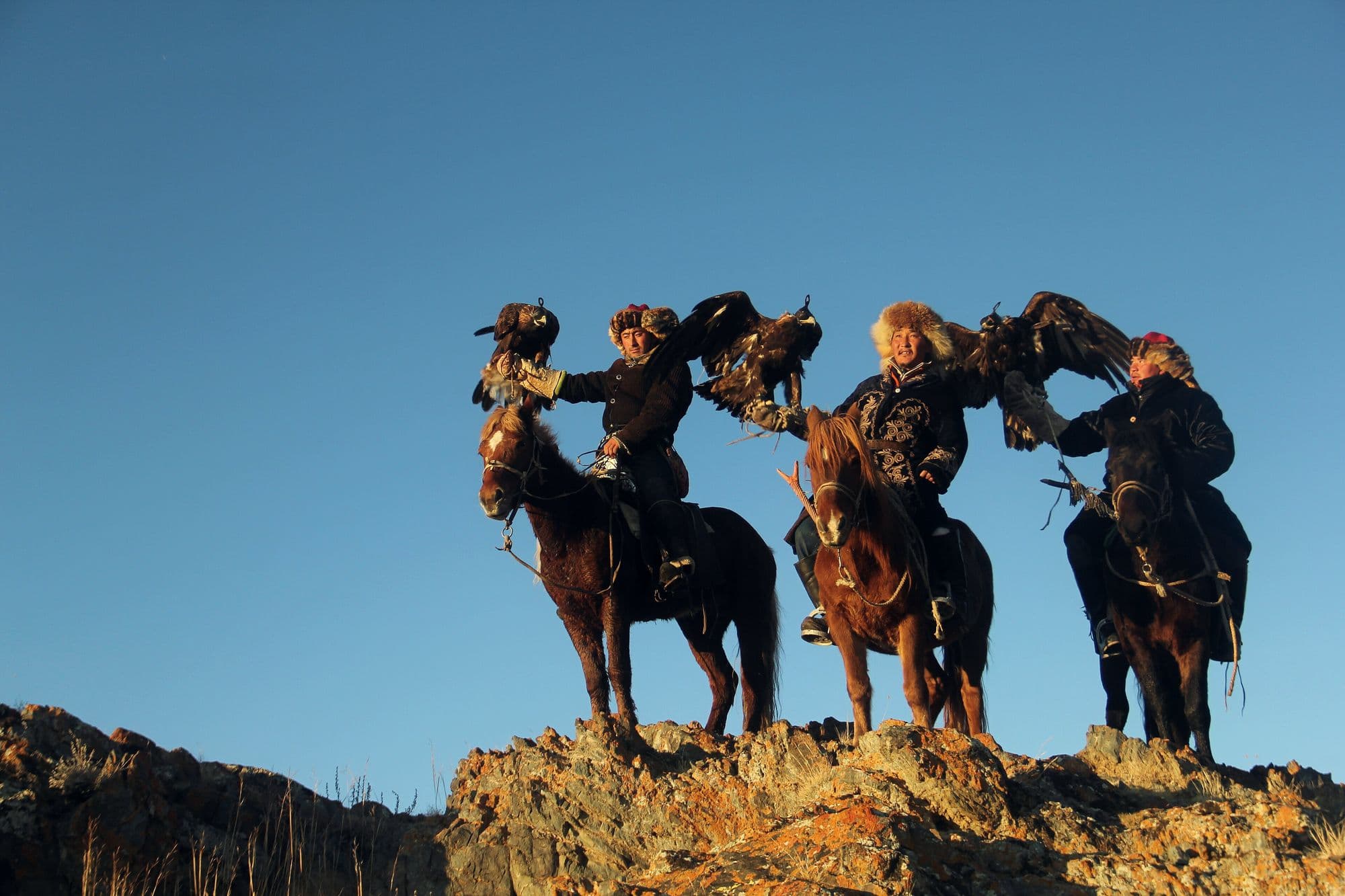
Bayan-Olgii is Mongolia's only Kazakh-majority province, and the practice that defines it is hunting foxes and hares from horseback with a trained golden eagle. Around 250 active eagle hunters are counted in the province, and two autumn festivals - a smaller one at Sagsai in September and the main Golden Eagle Festival near Olgii in early October - bring them together to be judged on how their birds fly to the fist, how they take a lure, and on their costume and kit. Around the festivals the province is worth days in its own right: mosques and bazaars in Olgii, Kazakh embroidery and felt-work, and family gers with an eagle on a block outside. The real hunting season, though, runs through the winter, from about mid-October to the end of February.
- Best months
- Sep–Oct
Uvs Lake (Uvs Nuur) and its UNESCO basin
Uvs · 1,370 km
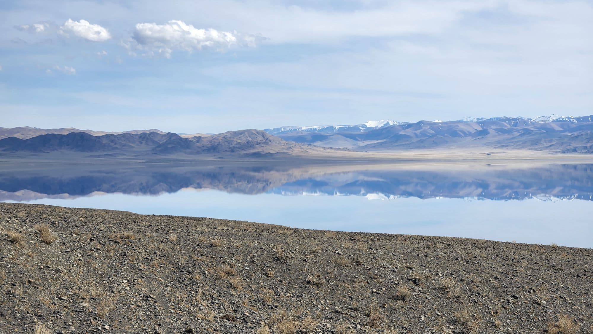
Uvs Nuur is Mongolia's largest lake by surface area, a shallow, intensely salty sheet of water at 759 m that has no outlet and sits at the centre of a transboundary basin shared with Russia's Tuva. The basin was inscribed on the UNESCO World Heritage List in 2003 and added to the Ramsar list in 2004, because within one catchment it holds desert dunes, salt marsh, steppe, taiga, tundra and glaciated mountains, and is one of the last remnants of the mammoth steppe. Practically, visitors base themselves in Ulaangom and drive out to the shore for birdlife and the extraordinary emptiness, then head south-west into the Kharkhiraa and Turgen mountains for walking and horse trekking. It is one of the least visited corners of Mongolia, and also one of the harshest: the basin has recorded both -58 C and +47 C.
- Best months
- Jun–Sep