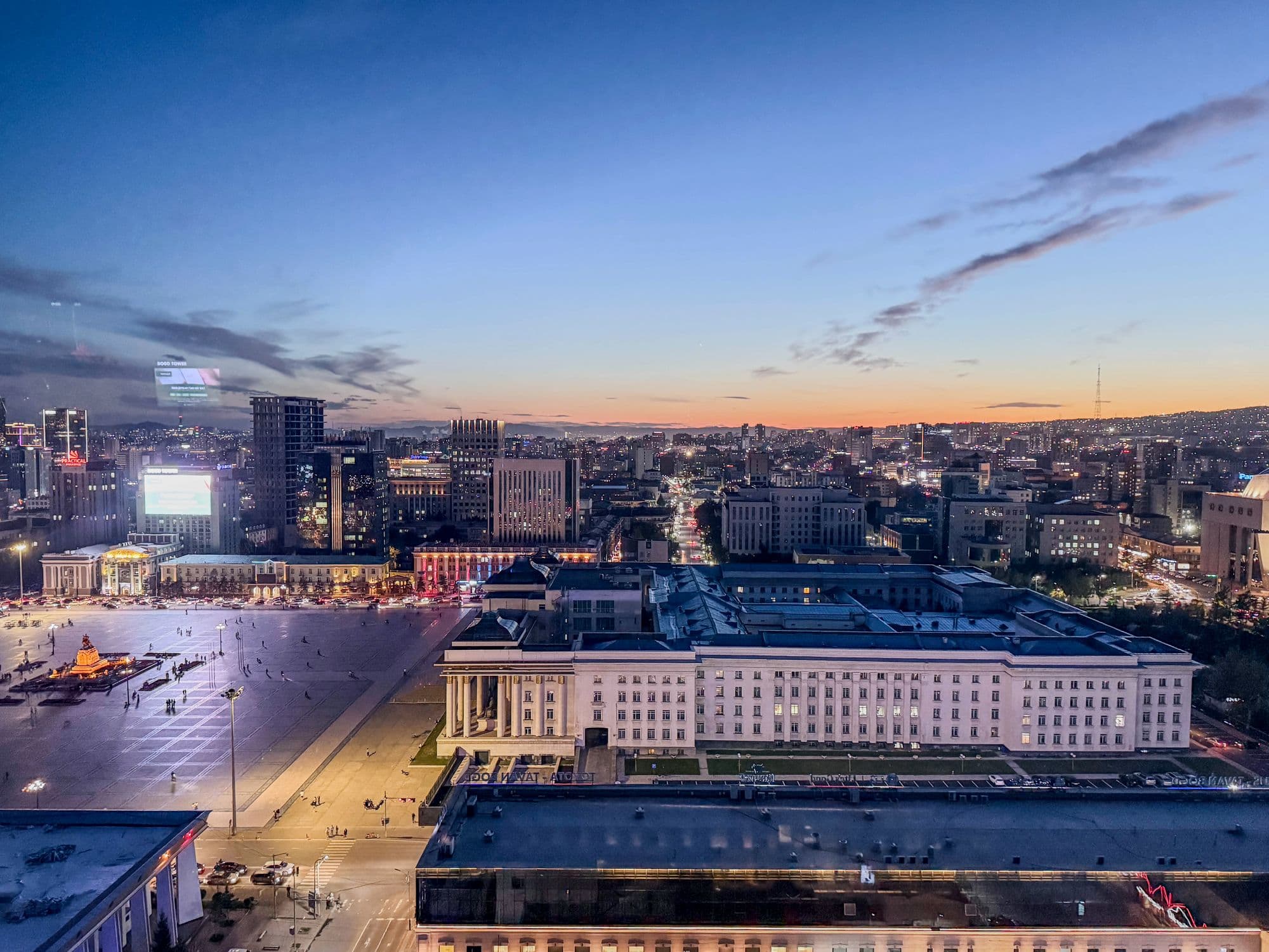
Mongolia's capital holds about 1.79 million people, roughly half the country, in a long valley on the Tuul river at around 1,300 m. It began in 1639 as a movable Buddhist monastic camp that shifted location 29 times before settling permanently on this spot in 1778, and took its present name in 1924. By mean annual temperature it is the coldest national capital in the world. For travellers it is less a destination than the hinge of every central-Mongolia trip: the museums that explain what you are about to drive through, the permits, the drivers and the last reliable ATM.
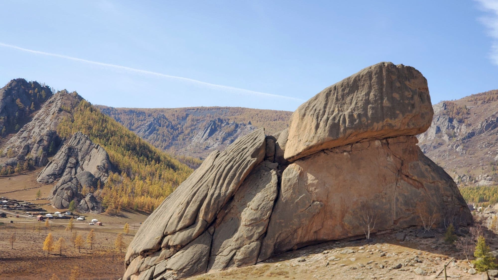
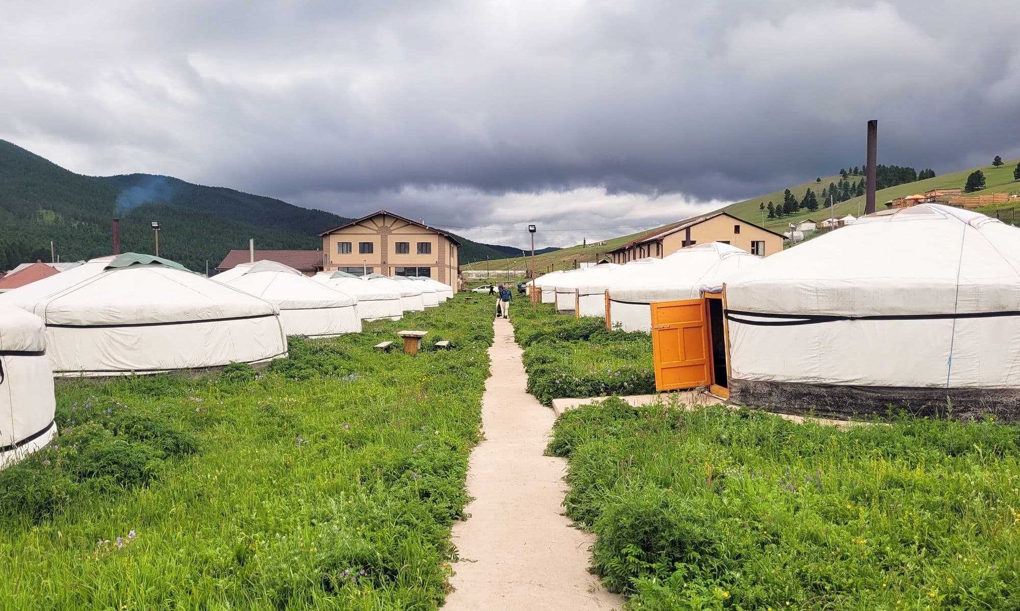
Terelj is the closest thing to real mountain country within an easy drive of Ulaanbaatar: weathered granite tors, larch and birch on the north-facing slopes, and the Terelj river winding through meadows in the south-western foothills of the Khentii. The park's name comes from the words for creek and rhododendron. Only a small southern strip is developed, with dozens of tourist ger camps, horse and camel hire, restaurants and souvenir stalls; beyond the Gorkhiin Davaa pass most of the park is roadless. It is the standard first or last night of a Mongolia trip, and the best place to try a ger without committing to two days in a van.
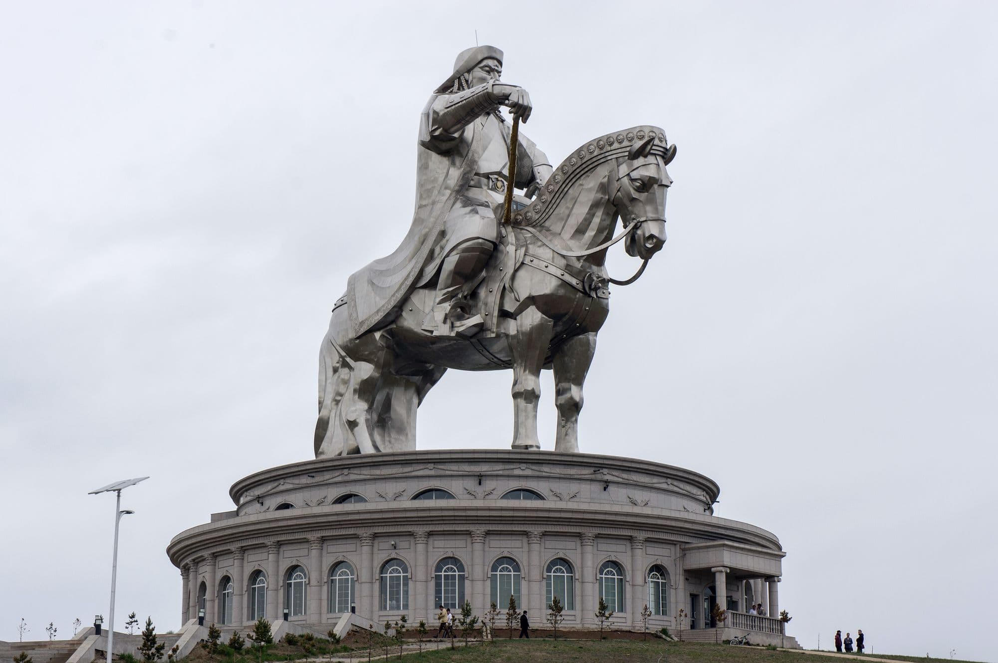
A 40-metre stainless-steel Genghis Khan rides out of the steppe on the south terrace of the Tuul river at Tsonjin Boldog, the place legend says he found a golden whip. It is the tallest equestrian statue in the world, opened on 26 September 2008 for the 800th anniversary of the founding of the Mongol Empire. Visitors climb up through the horse's chest and neck to a viewing platform on its head, looking out over the rider's face and the open country beyond. The 10-metre building it stands on has 36 columns, one for each khan from Genghis to Ligdan.
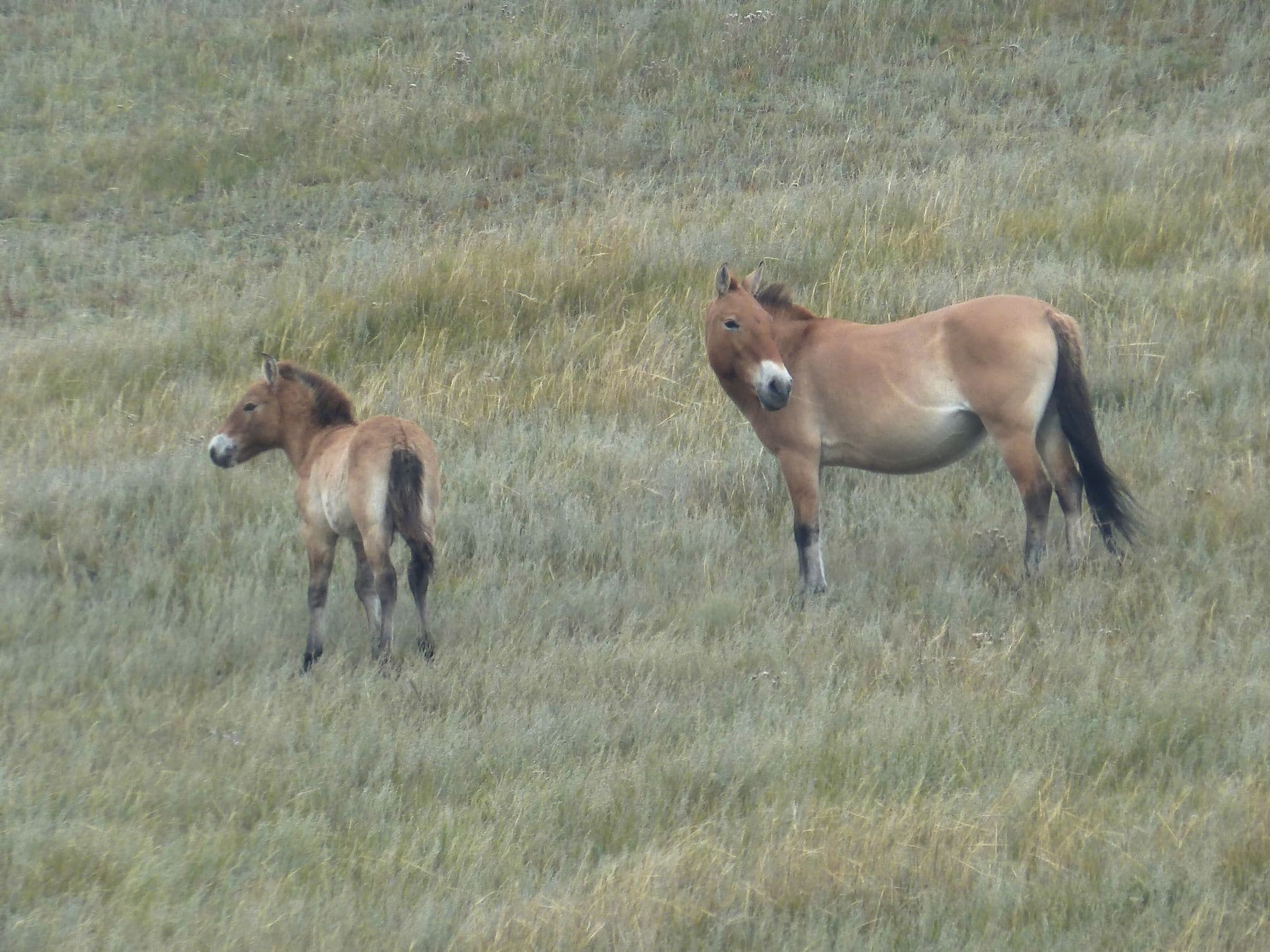
Hustai protects 506 km² of rolling hill steppe and birch pockets in the Khustai range, with the Tuul river running through it. It exists because of one animal: the takhi, or Przewalski's horse, the last truly wild horse, extinct in the wild by the late 1960s and released back here from zoo stock starting in 1992. The reintroduction worked. The area became a nature reserve in 1993 and a national park in 1998, and the population now stands at about 380 horses in 34 breeding harems plus more than 80 young stallions. It is the one place close to Ulaanbaatar where a two-hour drive buys you a realistic chance of wild horses at dusk.
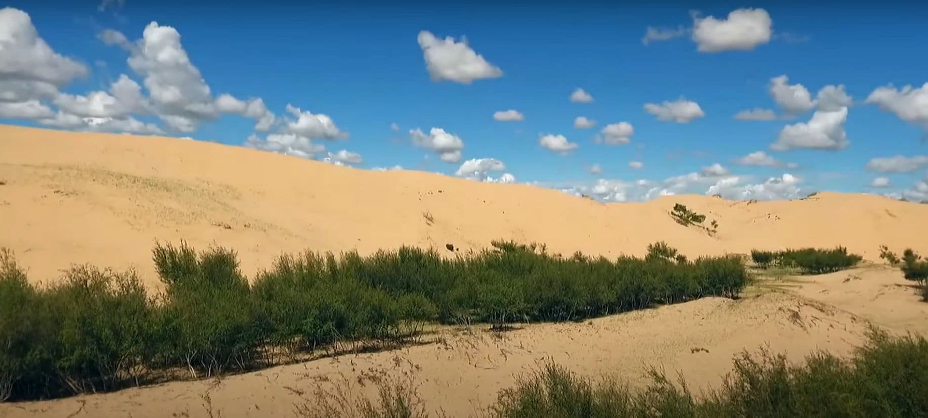
Elsen Tasarkhai is a long ribbon of sand - about 96 km of it - laid across the grassland on the main road west, curving around the western flank of Khugnu Khan mountain. Tour itineraries sell it as a taste of the Gobi without the two-day drive, and the comparison is fair in one way and misleading in another: the dunes are real and you can ride a camel over them at sunset, but the Tarna river runs along their edge and there are willows, saxaul and liquorice growing in the sand. It is the standard overnight between Ulaanbaatar and Kharkhorin.
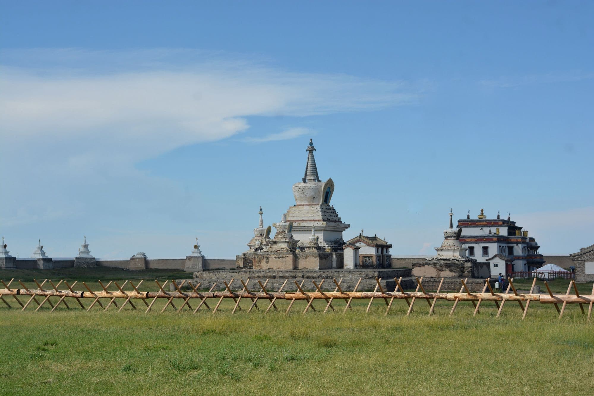
Kharkhorin sits at the lower end of the upper Orkhon valley, where the easternmost Khangai foothills meet open steppe. Just north of the modern town lie the ruins of Karakorum, briefly the imperial capital of the Mongol Empire under Ögedei Khan and the city William of Rubruck described in 1254. Built partly out of its stones in 1585, Erdene Zuu is probably the oldest surviving Buddhist monastery in Mongolia, a walled compound edged with stupas holding a handful of Chinese- and Tibetan-style temples and one working temple that still serves the town. Both sit inside the Orkhon Valley Cultural Landscape World Heritage Site.
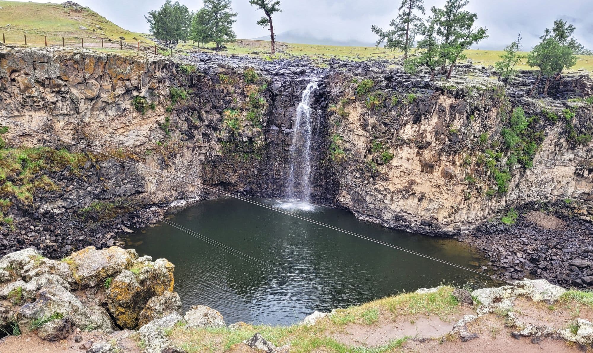
UNESCO inscribed the Orkhon Valley Cultural Landscape in 2004 under criteria (ii), (iii) and (iv): 121,967 hectares with a 61,044-hectare buffer, recognised for more than two thousand years of nomadic pastoral tradition and for the succession of empires that put their capitals along one river. Upstream from Kharkhorin the valley narrows into grassland, basalt and larch, and the place most travellers actually stop is Ulaan Tsutgalan, a 24-metre waterfall where the Ulaan river drops into the Orkhon. Getting there costs most of a day on rough track, which is exactly why the valley still feels like herder country rather than a monument.
In a larch-edged side valley in Tsenkher sum, a handful of resort ger camps have been built around hot mineral water piped into open-air stone pools. There is nothing ancient or hidden about it - this is Mongolia's spa stop, and its job is obvious after three or four days of dirt roads and cold-water washes. You soak outdoors at about 1,770 metres with the valley walls above you, and on a clear night the steam and the stars do most of the work. Most people arrive from Kharkhorin and leave toward the Khangai lakes the next morning.
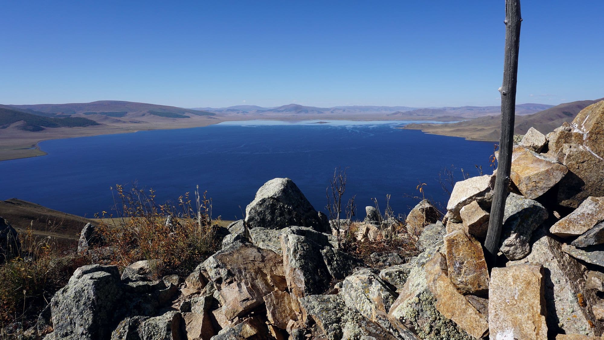
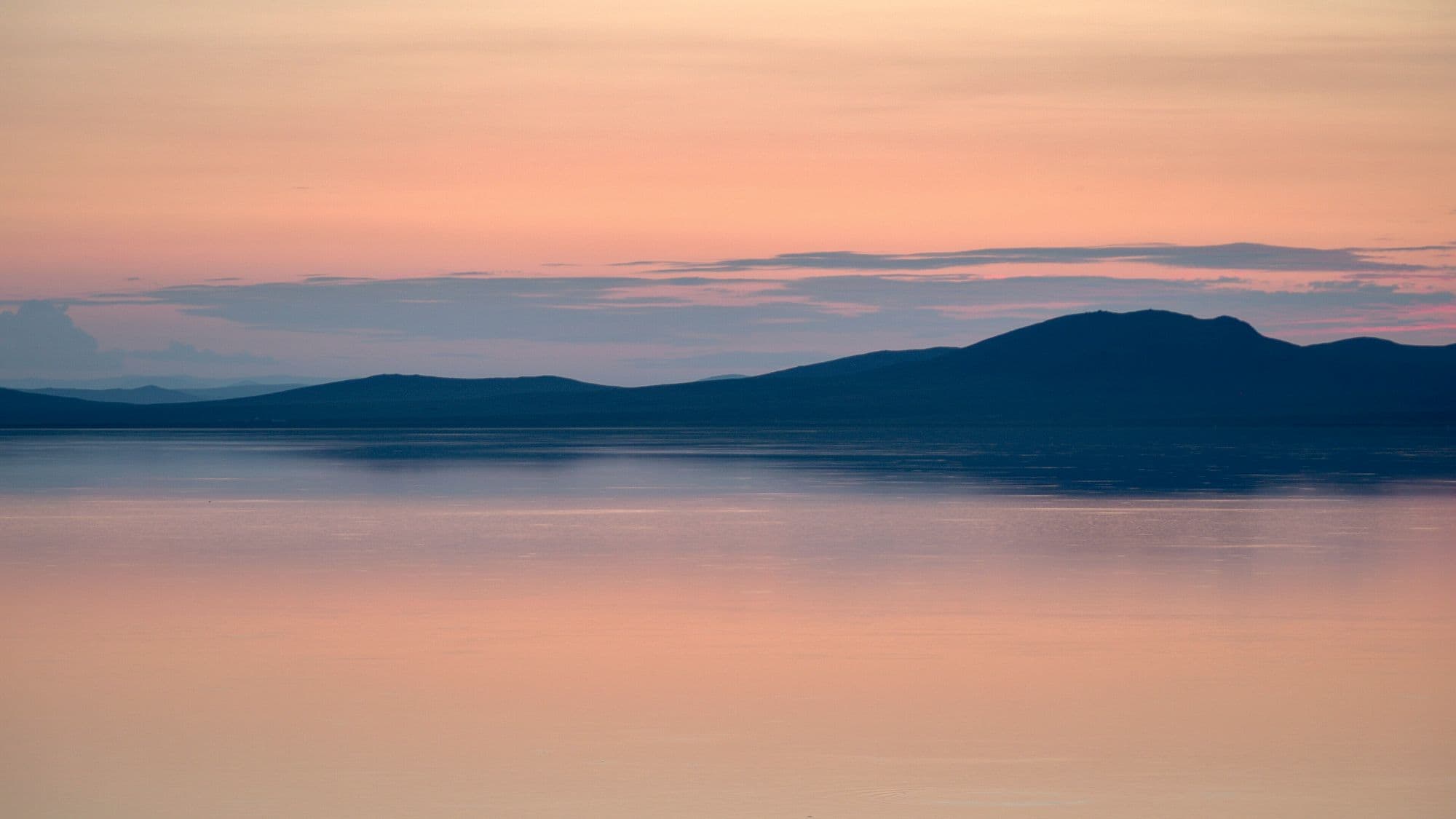
The Great White Lake lies at 2,060 metres in the Khangai, held in place by a lava dam: about nine thousand years ago the Khorgo cinder cone erupted and its flow blocked the North and South Terkh rivers. The result is roughly 61 km² of cold, clear fresh water with a shore of black basalt rubble, a climbable volcano at its eastern end, and larch forest on the slopes behind. Over ten rivers feed it and only the Suman flows out. It is the farthest of the standard central-Mongolia destinations and the one that most rewards staying two nights instead of one.
Ögii is a shallow steppe lake of about 25.7 km² at 1,337 metres, fed from the west by the Khögshin Orkhon and drained north-west by the Khooloi into the Orkhon proper. It has been a Ramsar wetland of international importance since 1998 and a BirdLife International Important Bird Area, with around 150 bird species recorded and a well-used migration stopover for ducks, geese and swans. Mongolians come for the fishing. For travellers it is the easiest lake to bolt onto a Kharkhorin trip - a warm swim, a quiet night and birds on the water at first light, for about half a day's detour.
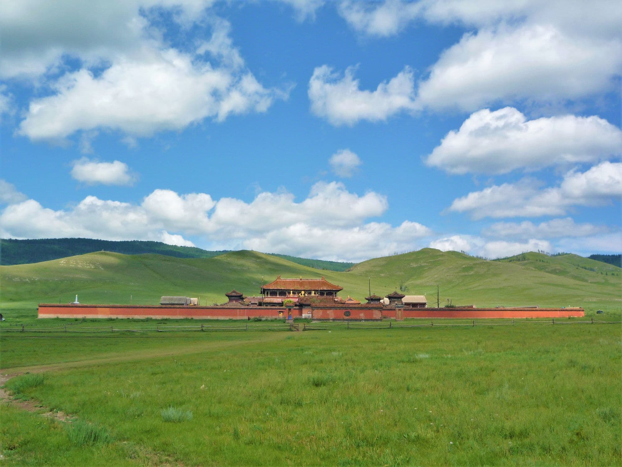
One of the three great Buddhist monastic centres of Mongolia, Amarbayasgalant stands alone in the Iven river valley at the foot of Bürenkhaan mountain in northern Selenge. It was built between 1727 and 1736 on the order of the Yongzheng Emperor and finished under Qianlong, as a resting place for Zanabazar, the first Jebtsundamba Khutuktu and spiritual teacher to the Qing imperial family; his remains were moved here in 1779. Unlike almost every other Mongolian monastery it kept much of its fabric through the 1930s purges, and the strict symmetrical Chinese plan - courtyard behind courtyard on a single axis - survives intact. At its height it held around six thousand monks.
Best months
Jun–Sep
Region
The Gobi
Dunes, ice in a summer gorge, dinosaur cliffs and the emptiest roads in the country.
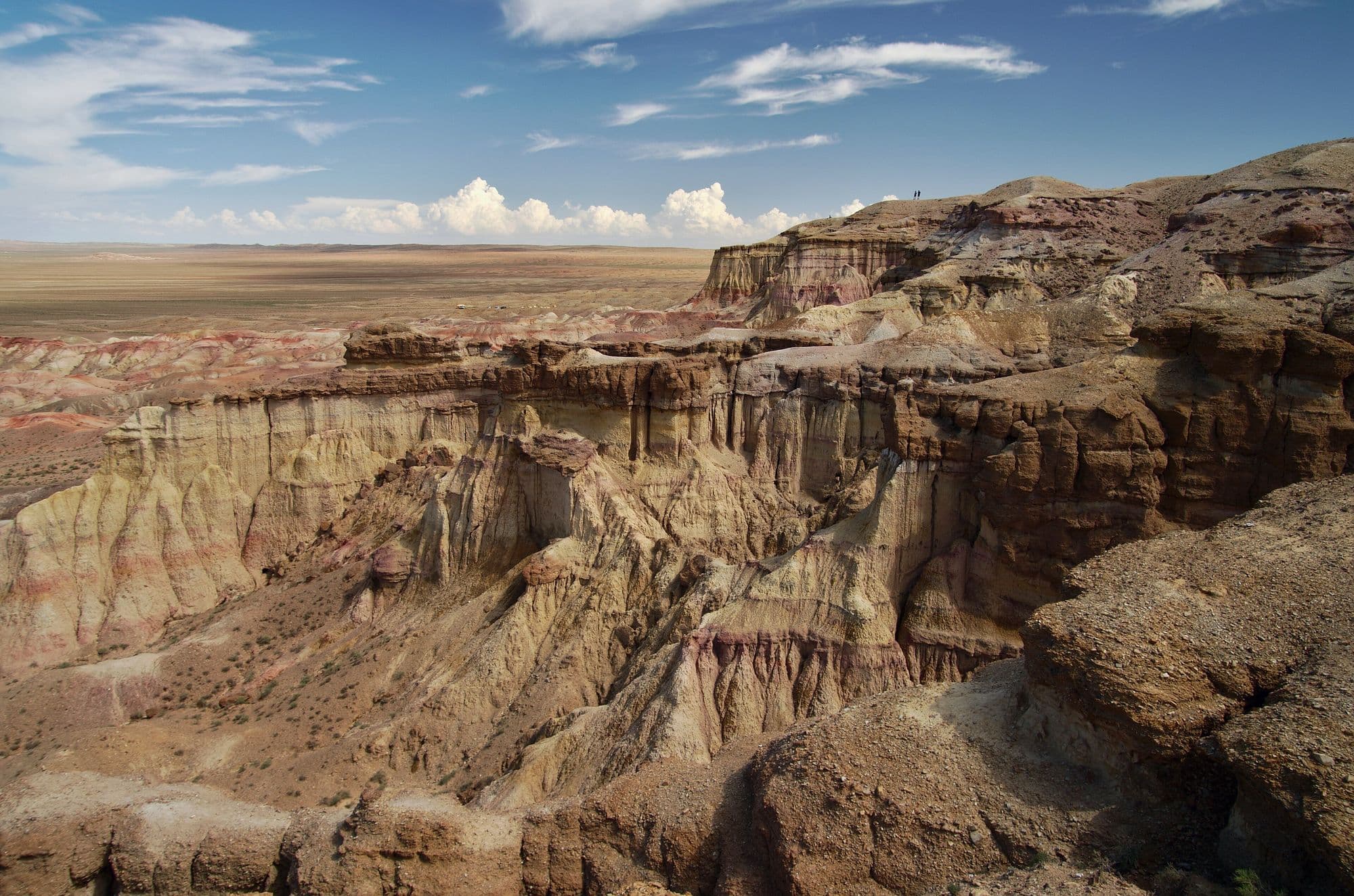
Tsagaan Suvarga is the eroded edge of an old lake-bed plateau in the south of Dundgovi, where the ground simply stops and drops away into a wall of banded sediment. Seen from the plain below, the columns and buttresses look like a row of pale stupas, which is where the Mongolian name comes from. The colours run from chalk white through pink and ochre to rust, and they shift completely between morning and late afternoon light, so most visitors time their stop for one end of the day. It is usually a half-day stop rather than a destination in itself, on the overland route between the Dundgovi sites and the deep Gobi.
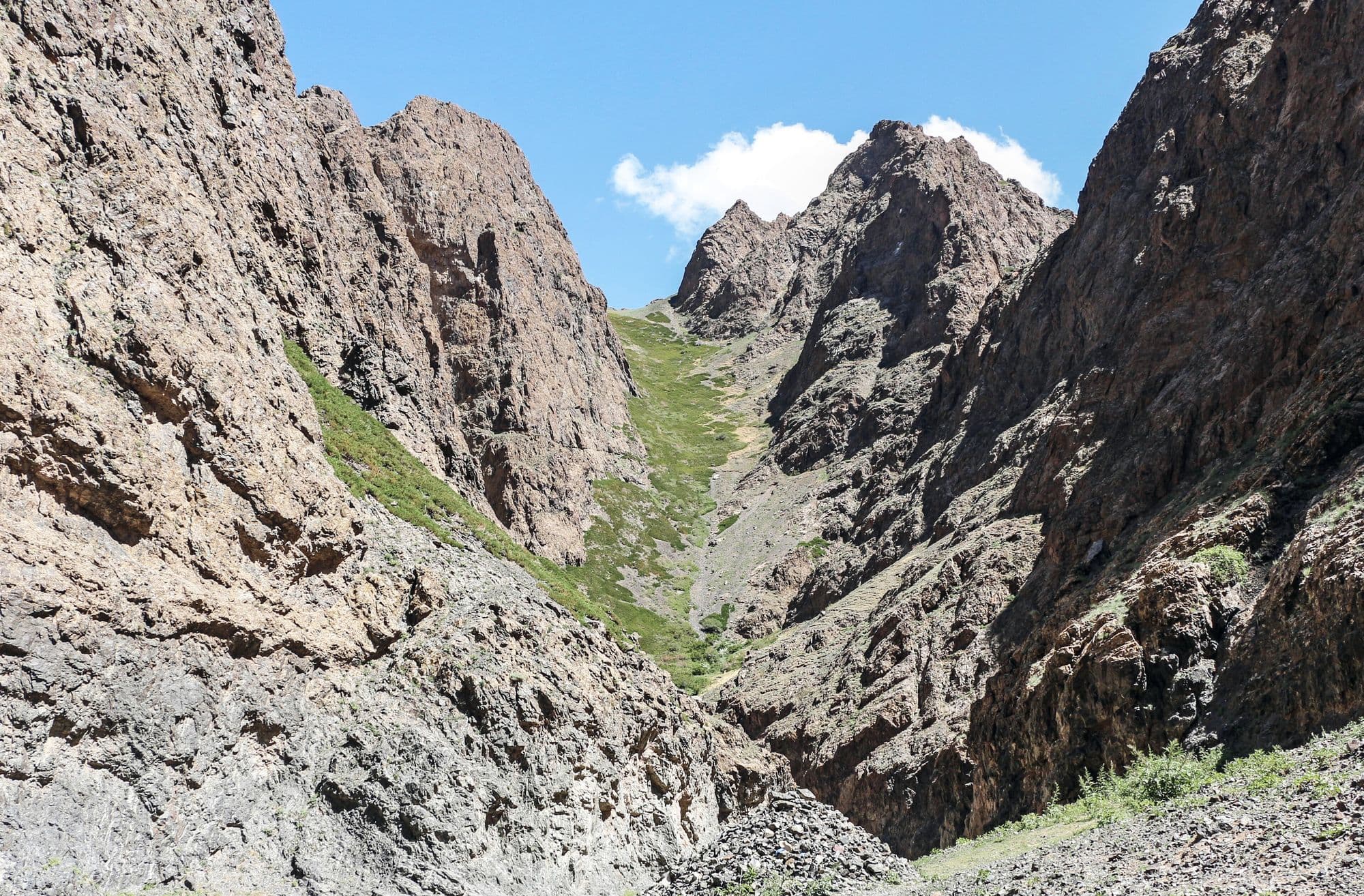
Yolyn Am is a narrow gorge cut into the Zuun Saikhan range inside Gobi Gurvansaikhan National Park, and it is the one place in the South Gobi where the desert stops feeling like desert. The walls close to a few metres apart, a stream runs along the floor, and for much of the year a sheet of ice sits in the shaded narrows. It is named after the yol, the bearded vulture that nests on the cliffs above. Visitors park at the mouth, pass a small natural history museum, and walk or ride a horse a few kilometres up the valley to the ice.
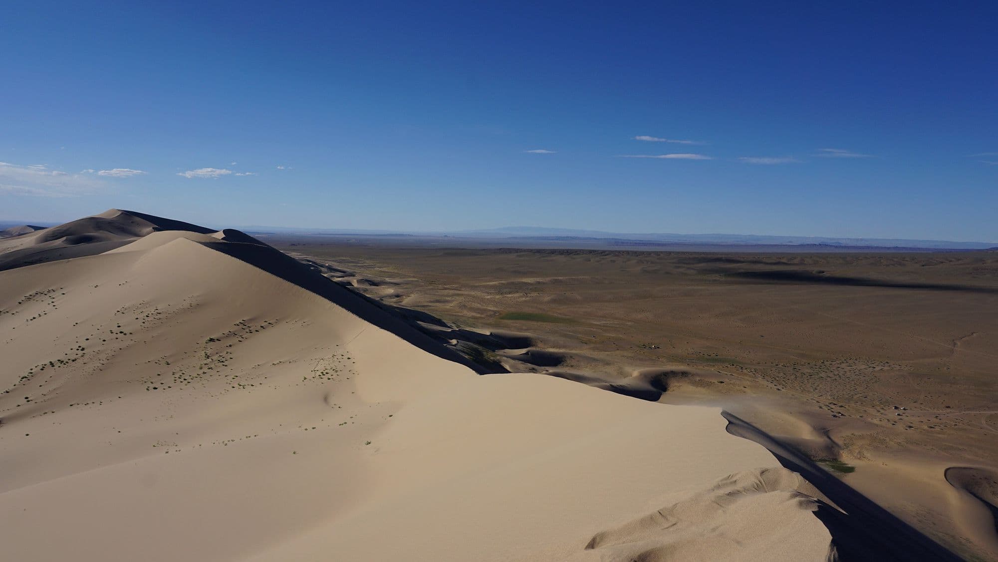
Khongoryn Els is the largest dune field in Mongolia, a band of sand running along the back of the Sevrei and Zöölön ranges with crests that rise as much as 300 m above the plain. Its nickname comes from the low droning hum the sand makes as grains slide and rub against each other on a windy day. The contrast is what makes it: bare rock mountains to the south, a wall of sand in the middle, and on the north side a green ribbon of oasis where the Khongoryn Gol stream surfaces and nomad families graze camels. Climbing the high dune for sunset is the standard reason people come, and it is much harder work than it looks.
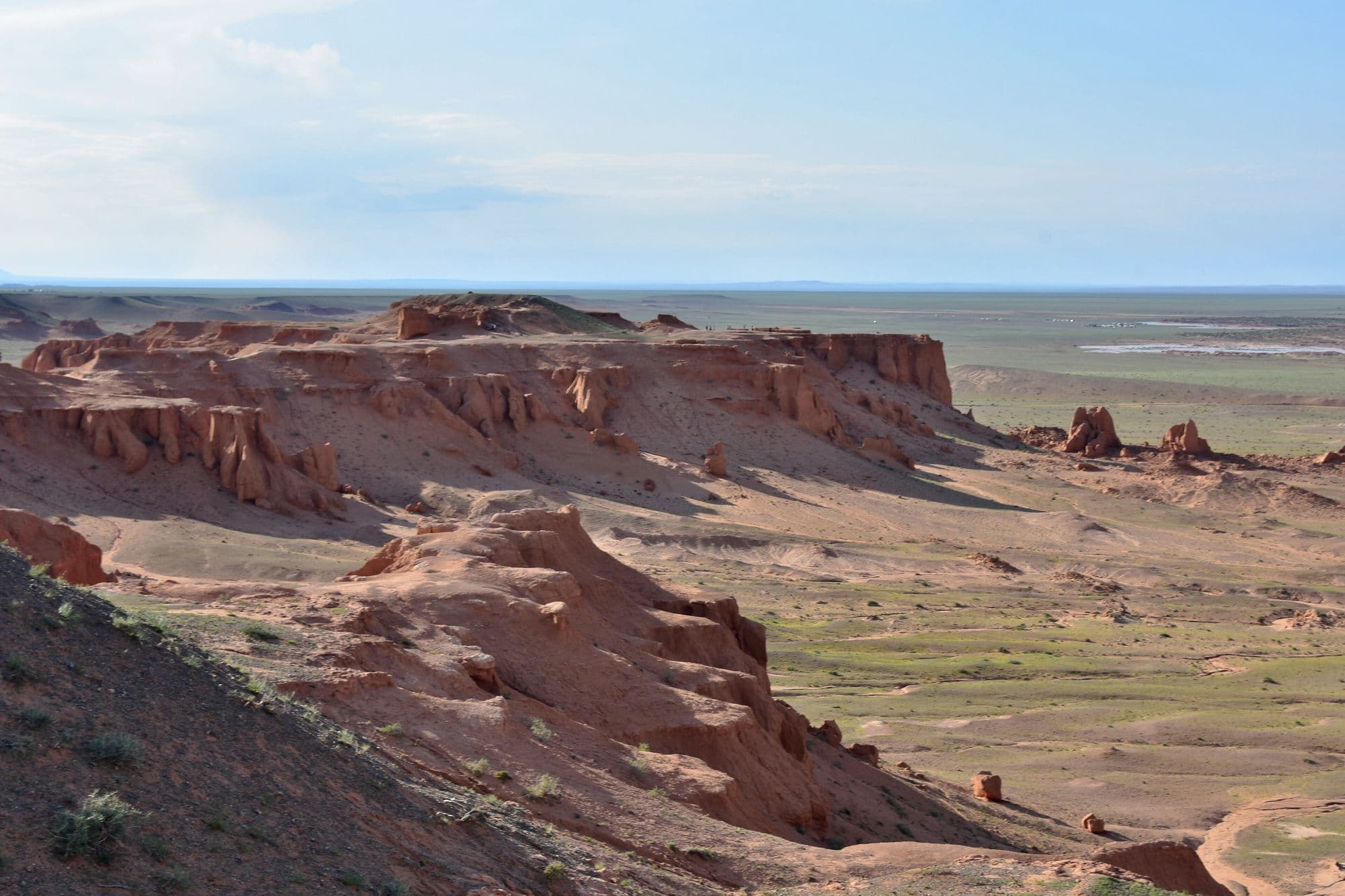
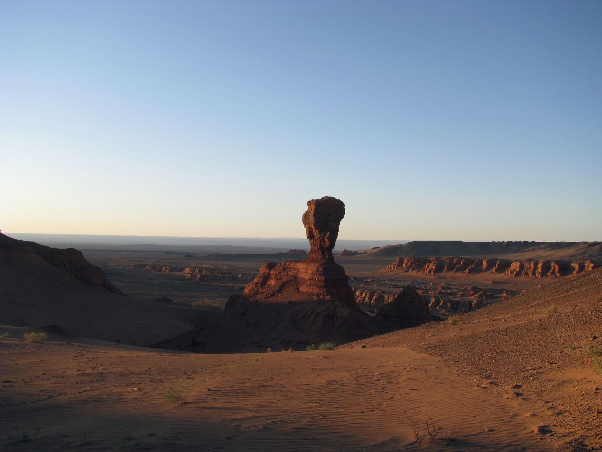
Bayanzag is a line of orange sandstone cliffs and badlands on the edge of a saxaul woodland, and it is the single most important site in the history of dinosaur palaeontology in Asia. Roy Chapman Andrews of the American Museum of Natural History named it the Flaming Cliffs in the 1920s for the colour the rock turns at sunset, and it was here that the first scientifically recognised dinosaur eggs were found. The rock belongs to the Djadochta Formation, which has also produced Velociraptor, Protoceratops, Oviraptor and some of the earliest known placental mammals. Visiting means walking the rim and the gullies below, which is a short and easy stop, and it is almost always timed for late afternoon.
Baga Gazriin Chuluu is a granite massif standing out of the steppe in northern Dundgovi, a jumble of weathered boulders, tors and narrow rock corridors that looks nothing like the sand-and-gravel Gobi people expect. Because it is only four or five hours from Ulaanbaatar on mostly paved road, it is the usual first night on a Gobi loop and the first proper taste of the desert edge. The rocks hold the ruins of a stone temple, a cave, rock carvings and a spring that Mongolians visit for their eyes. It rewards a slow walk more than a photo stop.
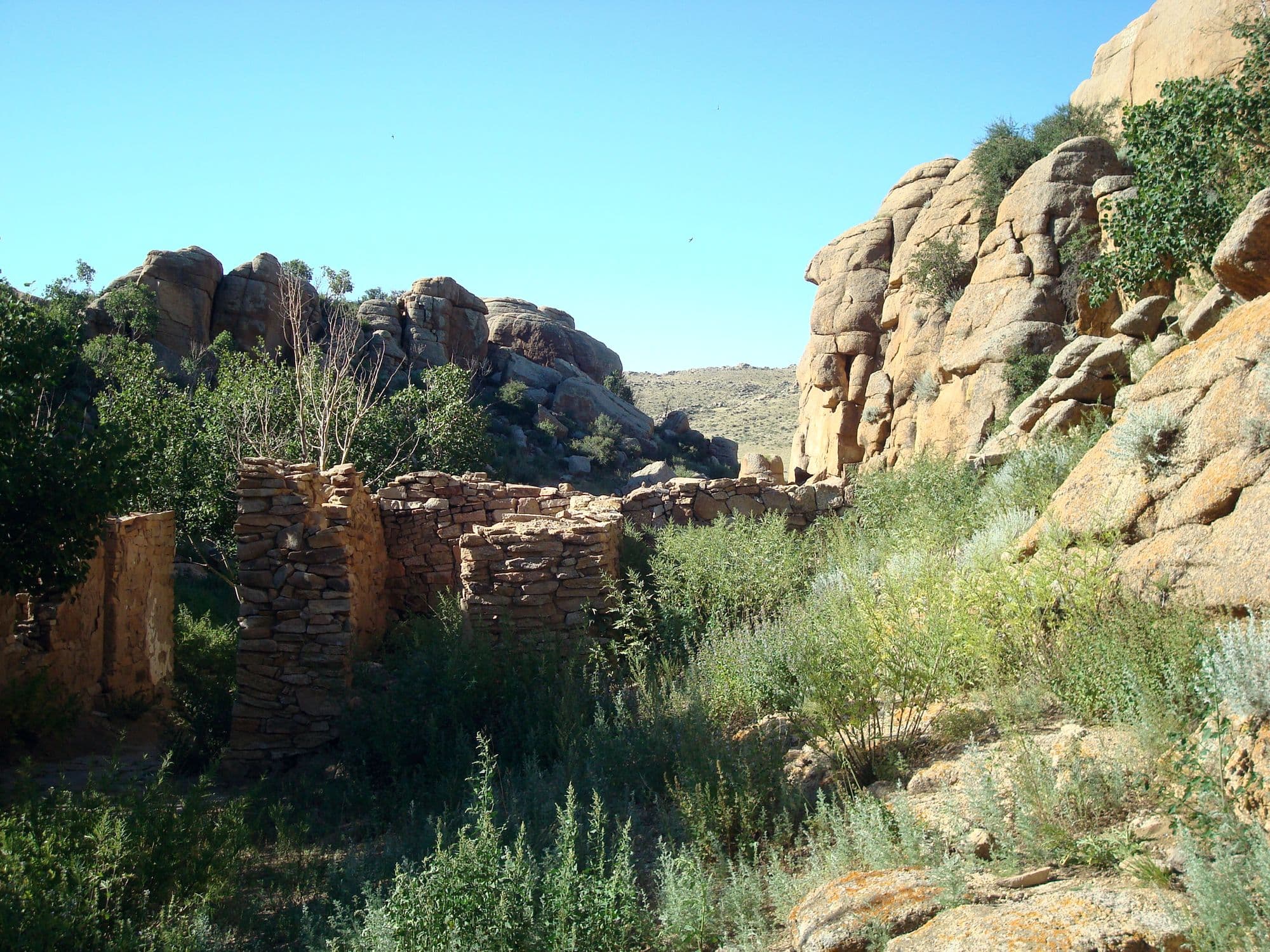
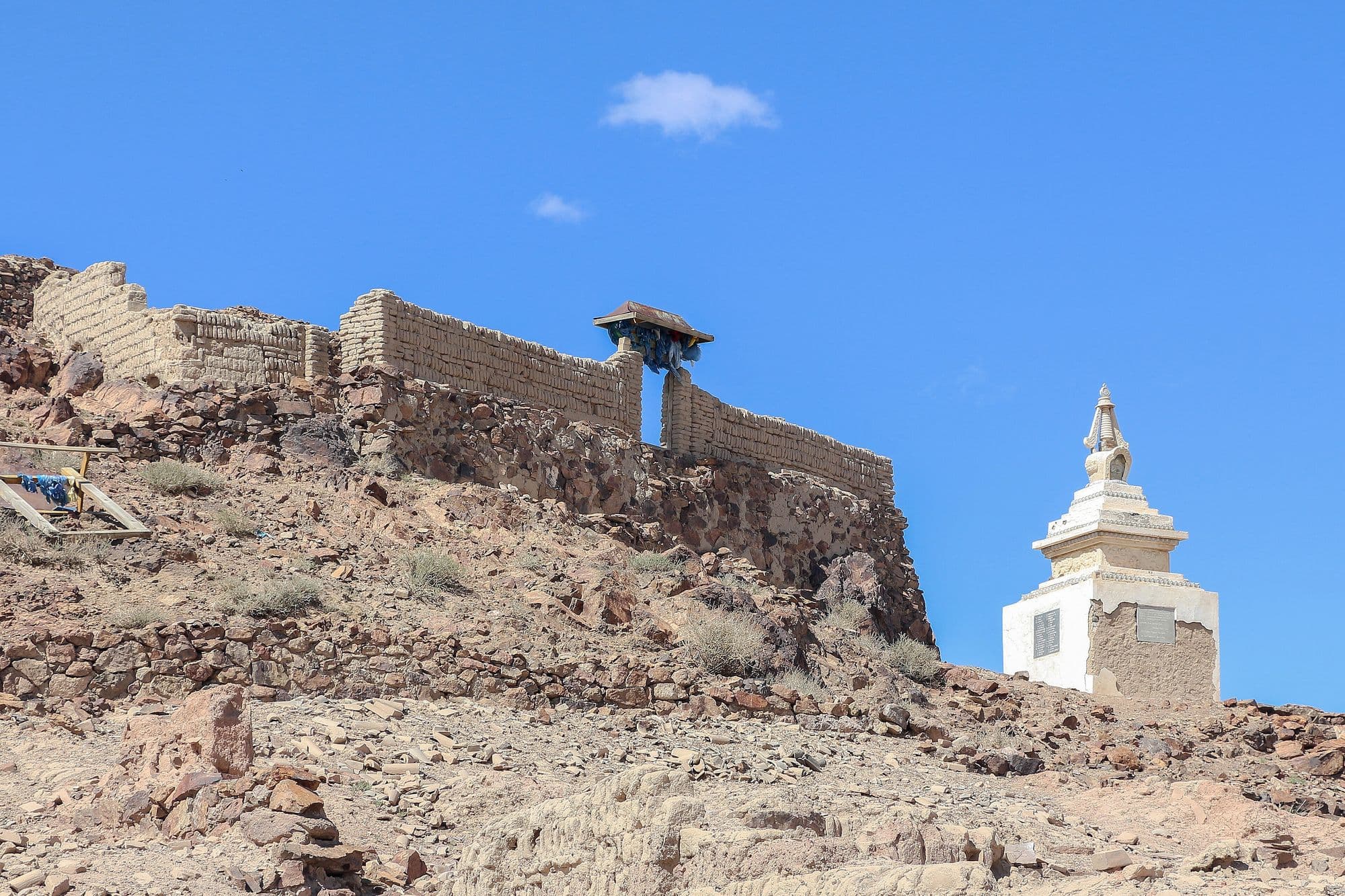
Ongi is the ruin of what was once one of the largest monastic complexes in Khalkha Mongolia, spread across both banks of the Ongi river at the foot of Saikhan-Ovoo mountain. It grew from the late 18th century into a centre of over a thousand monks with separate colleges for philosophy, tantra, medicine and mathematics, and it was destroyed in the Stalinist purges of the 1930s. What remains is a field of broken walls, foundations and standing stupas, with one small temple rebuilt since the 1990s and a handful of monks again in residence. It sits almost exactly where a Gobi loop needs a night, and the contrast between the scale of the ruins and the emptiness around them is the point.
Khermen Tsav is a deep red canyon system cut into the far western Gobi, a maze of eroded sandstone walls, towers and spurs that Russian-speaking visitors nicknamed the Mongolian sphinxes. It is one of the richest Late Cretaceous fossil localities anywhere, the reference area for the Hermiin Tsav beds of the Barun Goyot Formation, and the sandstone preserves an ancient landscape that was itself a dune field. Almost nobody gets here: it is hundreds of kilometres of desert track from the nearest paved road, with no settlement, no fuel and no mobile signal. That remoteness is exactly why serious photographers and expedition travellers make the effort.
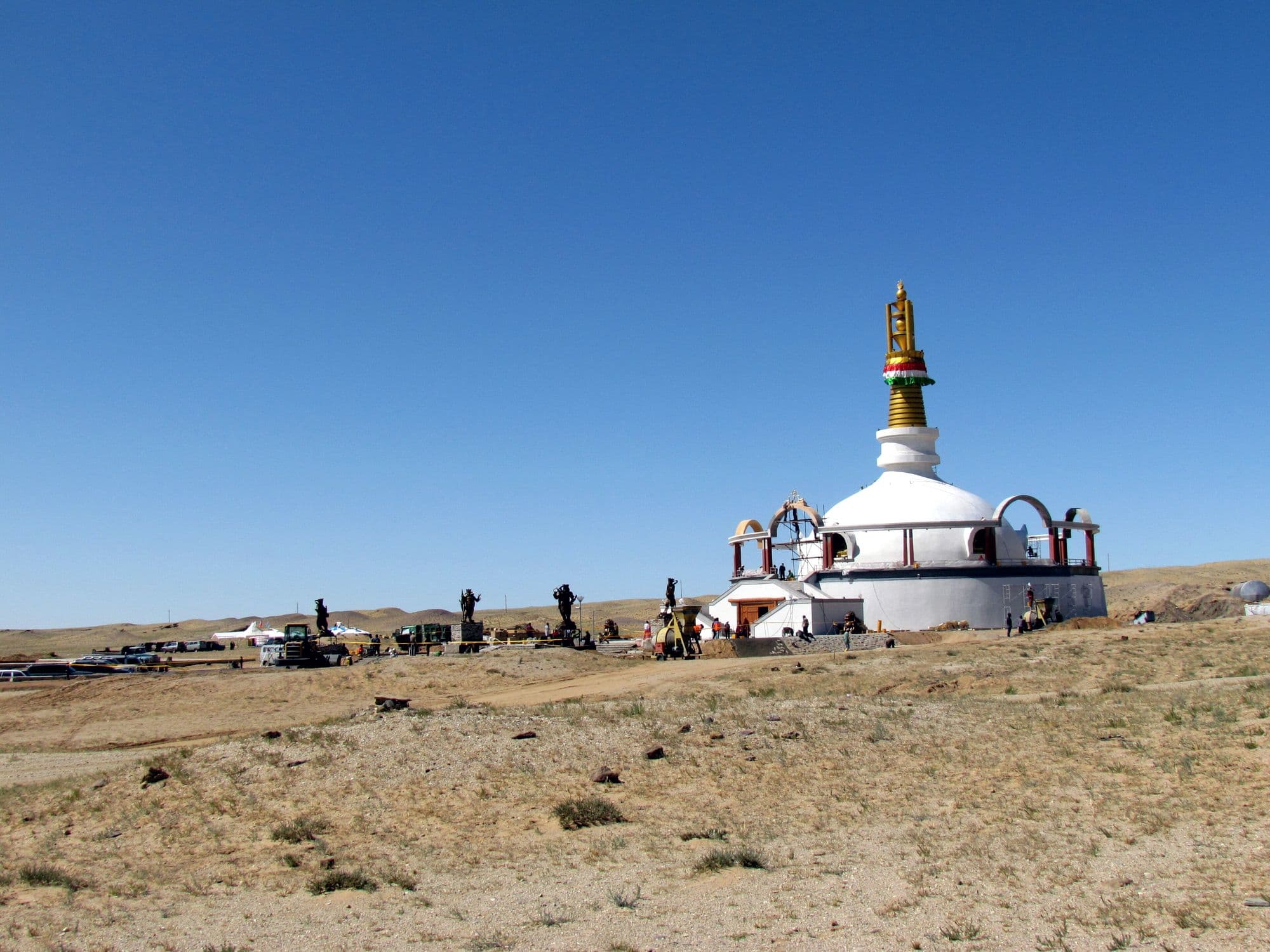
Khamar Monastery sits in the flat eastern Gobi south of Sainshand and is the seat of Dulduityn Danzanravjaa, the fifth Noyon Khutagt, a Nyingma lama who was also Mongolia's best known 19th-century poet and playwright. He founded it in 1820 at seventeen and built it into a complex of scores of temples with a theatre, a school and a library before the whole thing was destroyed in 1937. It was rebuilt after 1990 and is now an active pilgrimage site, with a separate Shambhala energy centre and its ring of 108 stupas on the plain a couple of kilometres north. It draws far more Mongolian pilgrims than foreign tourists, which is a large part of its interest.
Best months
May–Sep
Region
North, West & East
Khuvsgul’s lake and taiga, the Altai glaciers and eagle hunters, and the open eastern steppe.
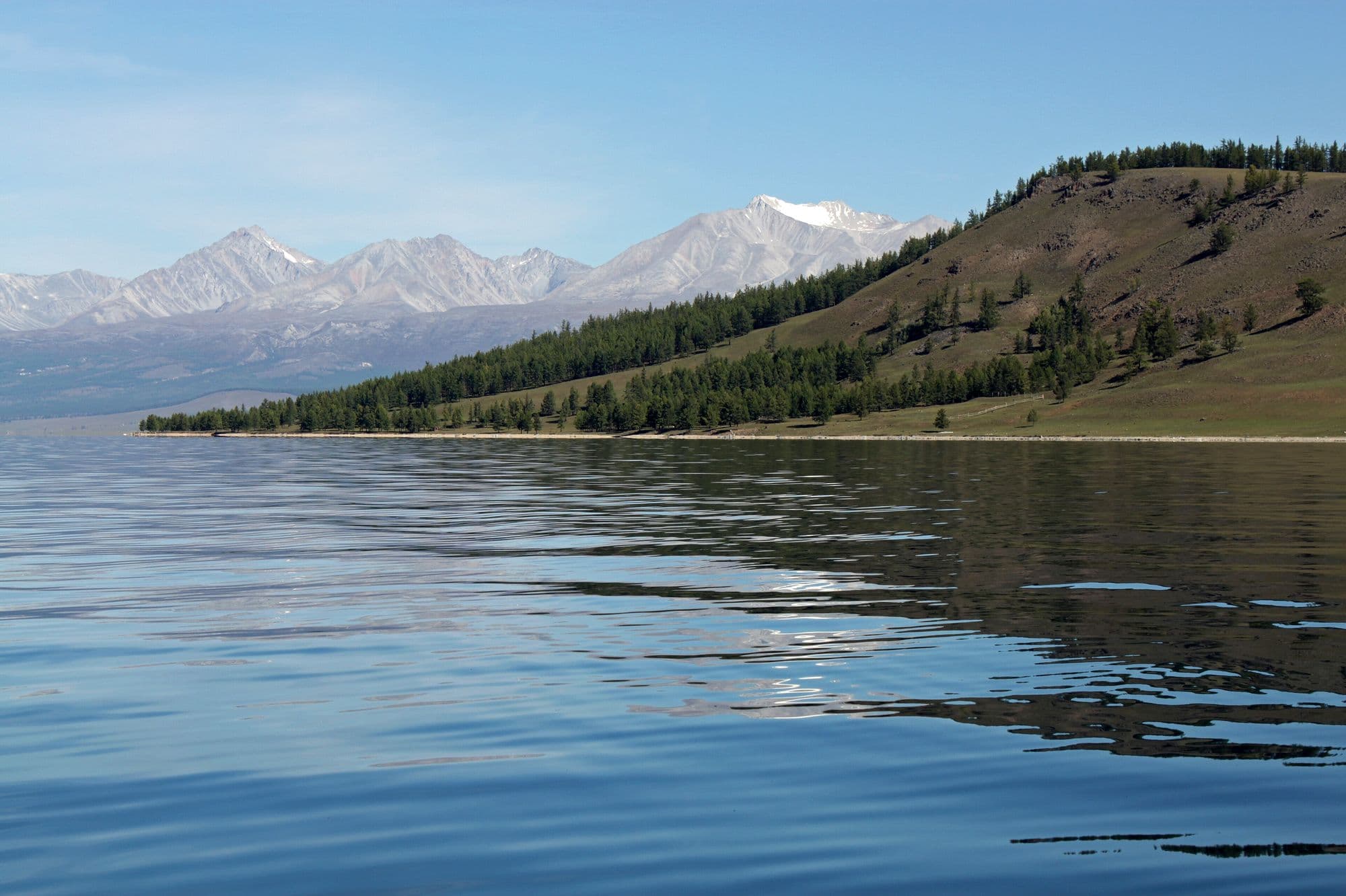
Khuvsgul is a deep, cold, exceptionally clear mountain lake in Mongolia's far north, set against the larch and cedar forests that mark the start of the Siberian taiga. It is more than two million years old, reaches 267 m deep, and stores roughly 70 percent of Mongolia's fresh water and about 0.4 percent of the world's. Most visitors base themselves at Khatgal at the southern end and spend their days riding, walking or boating along the shoreline, staying in ger camps built among the trees. Because the road from Ulaanbaatar is paved the whole way and flights land at Murun, it is the easiest place in Mongolia to combine forest, water and reindeer-herding culture in one trip.
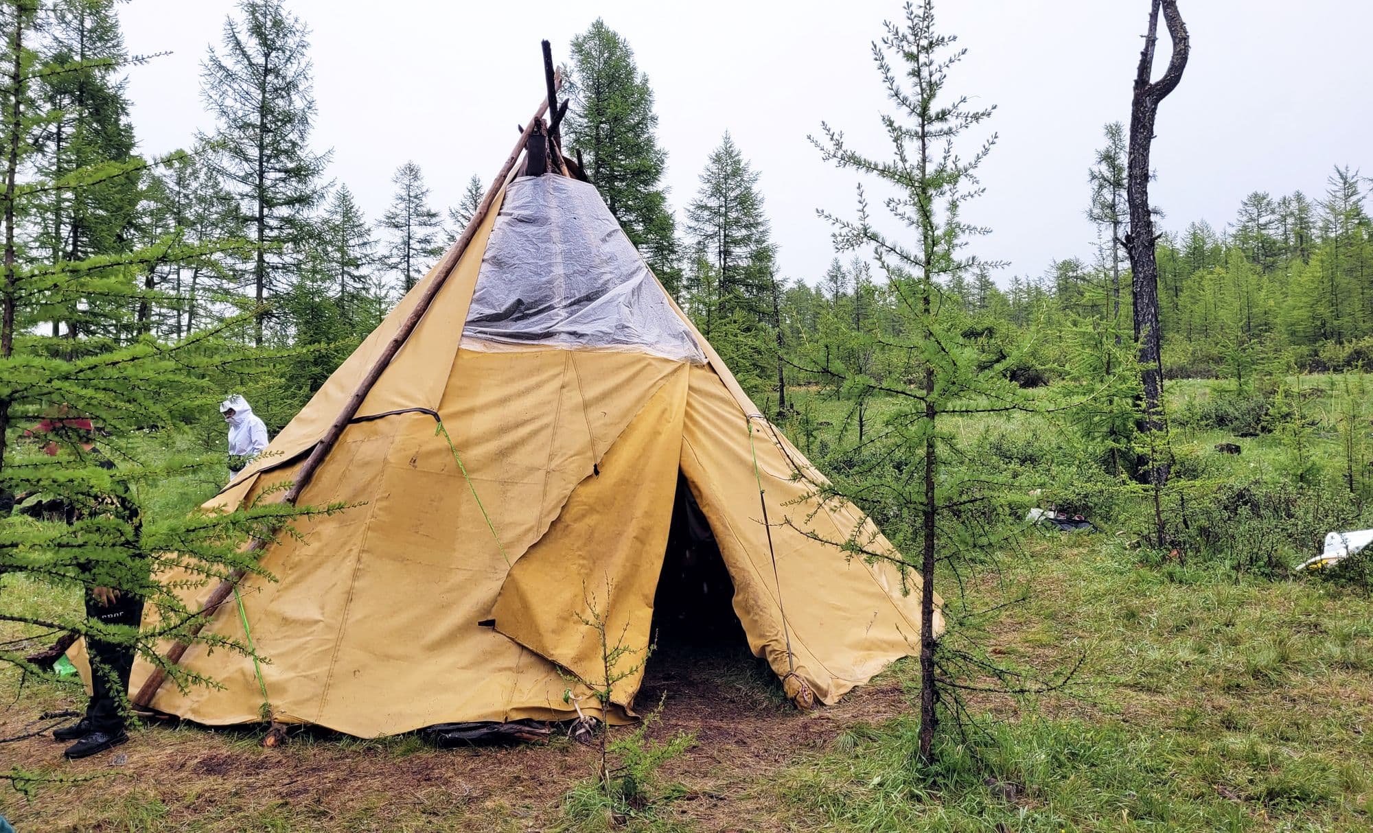
North-west of Lake Khuvsgul, past the Darkhad Depression, a few dozen families of Dukha herders - called Tsaatan, 'those who have reindeer', in Mongolian - still move their camps through the larch and moss taiga with domesticated reindeer. They live in ortz, conical birch-bark and canvas tents, in small clusters of two to seven households, split between what Mongolians call the East Taiga and the West Taiga. Visiting means a long drive to Tsagaannuur or Renchinlkhumbe and then hours on horseback into the forest, sleeping in or beside a herder's tent. It is the most demanding and the most culturally sensitive trip in northern Mongolia, and the community is tiny, so how a visit is arranged matters more than where it goes.
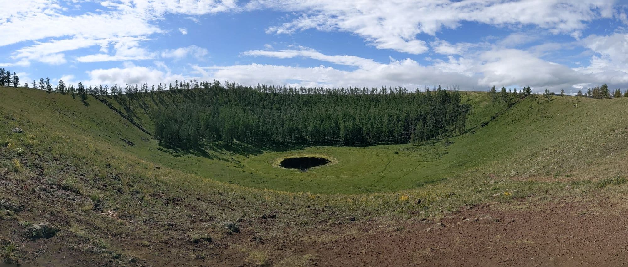
Uran Togoo is a small, perfectly preserved extinct volcano standing alone above the forest-steppe of Bulgan province, right beside the paved road that carries almost every vehicle heading from Ulaanbaatar to Lake Khuvsgul. A path climbs from the car park to the crater rim in well under an hour, and the rim looks down into an unbroken bowl 500-600 m across and 50-60 m deep, wooded on the inside and often holding a small pool. It is one of four extinct cones in the group, alongside Tulga, Togoo and Jalavch, all formed in the Quaternary and last active some 20,000-25,000 years ago. As a half-day stop it is the single most efficient way to break the drive north, which is exactly how most itineraries use it.
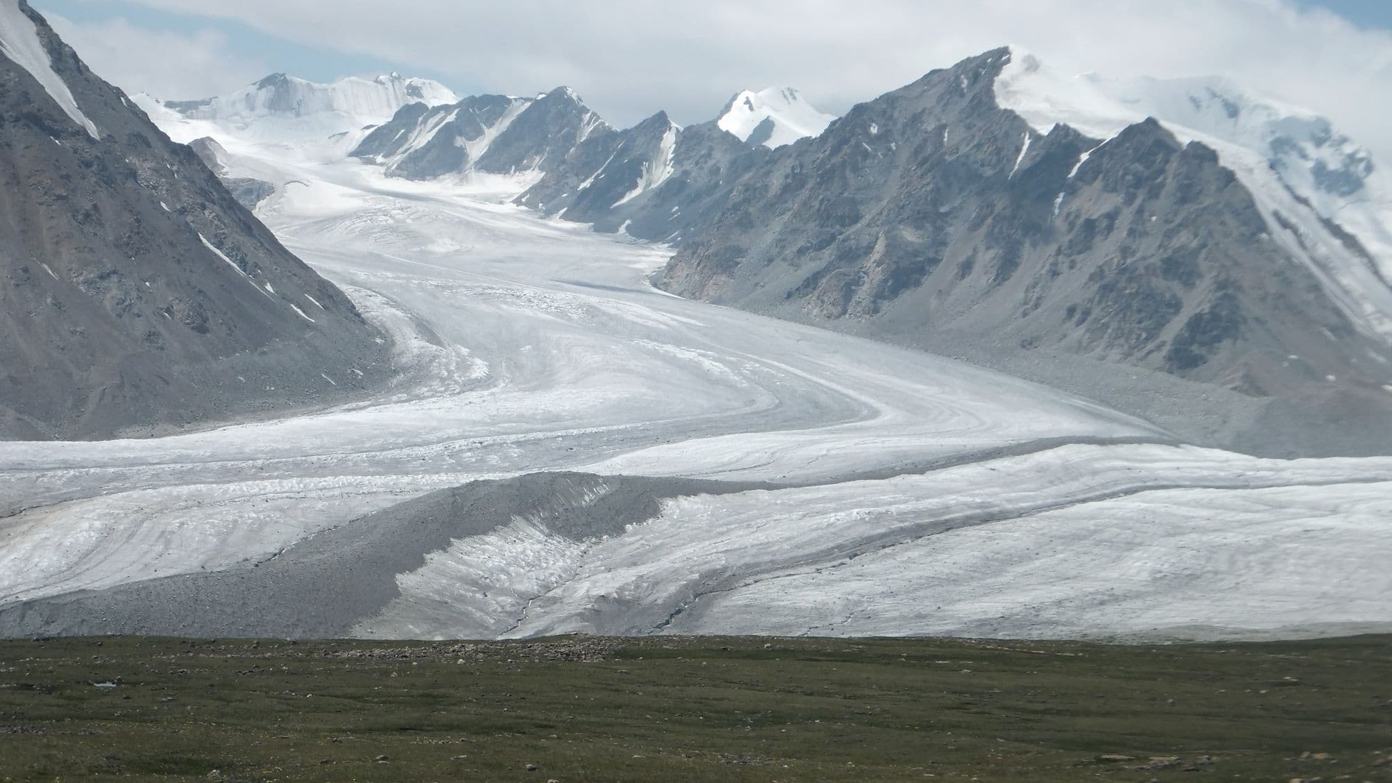
Altai Tavan Bogd protects Mongolia's highest corner, a 6,362 km2 block of glaciated peaks, cold blue lakes and Kazakh and Tuvan summer pastures against the Russian and Chinese borders. Its centrepiece is the Tavan Bogd, the 'Five Saints' massif, topped by Khuiten Peak on the Mongolia-China boundary, with the Potanin Glacier - Mongolia's longest at about 14 km - running below it. South of the peaks the freshwater lakes Khoton, Khurgan and Dayan sit in wide valleys used by herding families, and the Tsagaan Salaa valley holds thousands of Bronze Age rock carvings inscribed by UNESCO. Nothing here is quick: reaching the base camp means a long day on dirt from Olgii, and the mountain itself needs guides, permits and crampons.
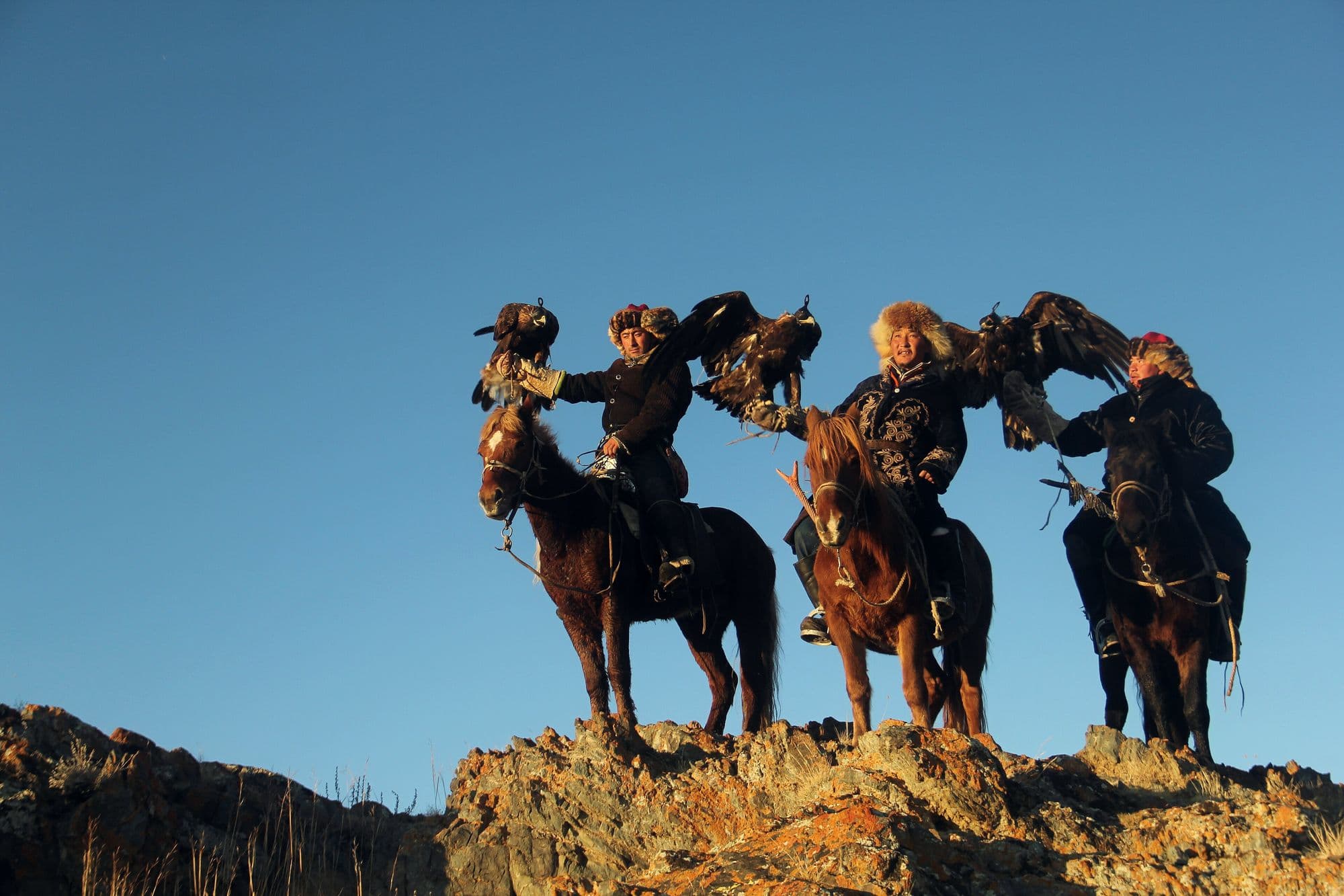
Bayan-Olgii is Mongolia's only Kazakh-majority province, and the practice that defines it is hunting foxes and hares from horseback with a trained golden eagle. Around 250 active eagle hunters are counted in the province, and two autumn festivals - a smaller one at Sagsai in September and the main Golden Eagle Festival near Olgii in early October - bring them together to be judged on how their birds fly to the fist, how they take a lure, and on their costume and kit. Around the festivals the province is worth days in its own right: mosques and bazaars in Olgii, Kazakh embroidery and felt-work, and family gers with an eagle on a block outside. The real hunting season, though, runs through the winter, from about mid-October to the end of February.
Uvs Nuur is Mongolia's largest lake by surface area, a shallow, intensely salty sheet of water at 759 m that has no outlet and sits at the centre of a transboundary basin shared with Russia's Tuva. The basin was inscribed on the UNESCO World Heritage List in 2003 and added to the Ramsar list in 2004, because within one catchment it holds desert dunes, salt marsh, steppe, taiga, tundra and glaciated mountains, and is one of the last remnants of the mammoth steppe. Practically, visitors base themselves in Ulaangom and drive out to the shore for birdlife and the extraordinary emptiness, then head south-west into the Kharkhiraa and Turgen mountains for walking and horse trekking. It is one of the least visited corners of Mongolia, and also one of the harshest: the basin has recorded both -58 C and +47 C.
Dadal sits in the far north-east of Khentii, in pine and larch country on the Onon river, and is the best known of several places in Mongolia that claim to be the birthplace of Chinggis Khaan. A stone monument to him stands on a hill above the village, the Gurvan Nuur (Three Lakes) sit in the forest nearby, and the Khajuu Bulag mineral spring draws Mongolian visitors who come to drink it. The village itself is a Buryat settlement of log cabins rather than gers, and it stands just south of Onon-Balj National Park, where the Onon valley runs north into Russia. It is the strongest historical destination in eastern Mongolia and the easiest one to sell to visitors who come for the Chinggis story rather than for landscape alone.
Dornod is Mongolia's easternmost province and the place where the country stops being mountainous: about 123,500 km2 of almost unbroken grassland, one of the largest intact temperate steppes left anywhere. The draw is not a single sight but the scale of it, and the Mongolian gazelle herds that move across it - typically groups of twenty to a hundred, but with a recorded mega-herd of a quarter of a million seen on these steppes in 2007. Around the grassland sit the 1939 Khalkhin Gol battlefield near the Chinese border, Buir Lake shared with China, and the Daurian wetlands in the north that carry migrating cranes. Choibalsan is the only real base, reachable by a long paved drive, a 15-hour bus or a short flight.