Arkhangai (Tariat sum)· Тэрхийн цагаан нуур
Terkhiin Tsagaan Lake (Great White Lake)
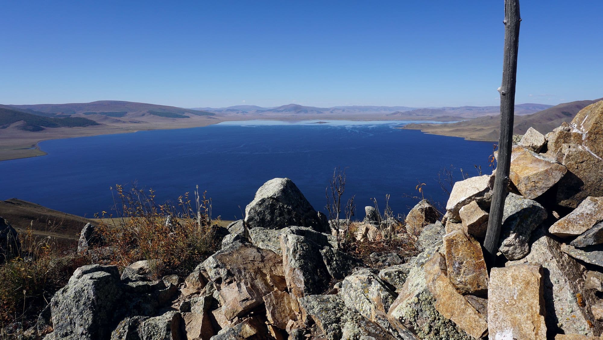
The Great White Lake lies at 2,060 metres in the Khangai, held in place by a lava dam: about nine thousand years ago the Khorgo cinder cone erupted and its flow blocked the North and South Terkh rivers. The result is roughly 61 km² of cold, clear fresh water with a shore of black basalt rubble, a climbable volcano at its eastern end, and larch forest on the slopes behind. Over ten rivers feed it and only the Suman flows out. It is the farthest of the standard central-Mongolia destinations and the one that most rewards staying two nights instead of one.
- From Ulaanbaatar
- 670 km
- Drive time
- 10-12, almost always split over two days
- Altitude
- 2,060 m
- Typical stay
- 2
- Best months
- Jul–Aug
- Jan: not a best month
- Feb: not a best month
- Mar: not a best month
- Apr: not a best month
- May: not a best month
- Jun: not a best month
- Jul: a best month
- Aug: a best month
- Sep: not a best month
- Oct: not a best month
- Nov: not a best month
- Dec: not a best month
Highlights
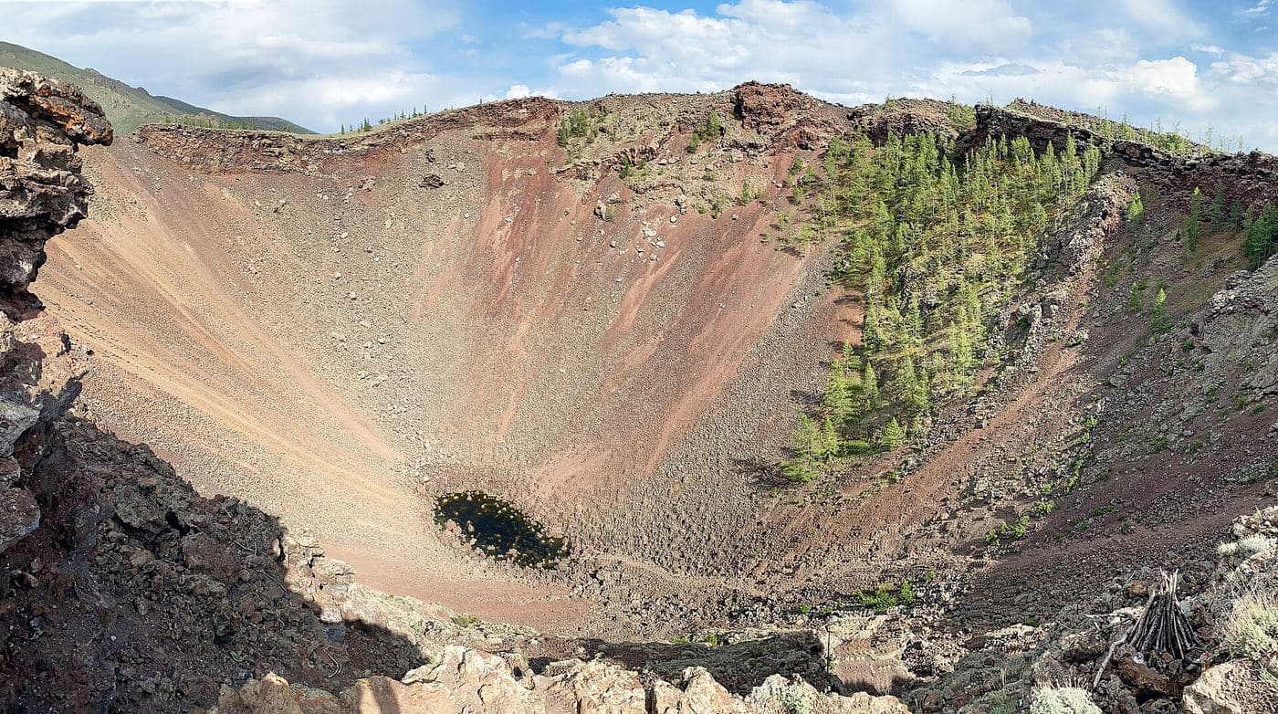
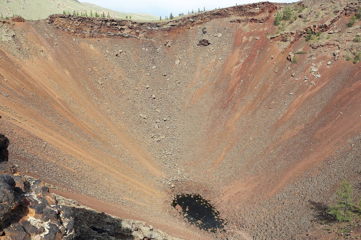
- Walking up Khorgo volcano (2,240 m) to its crater - 300-400 m across, about 100 m deep, with inner walls sloping at roughly 50 degrees
- The 'basalt yurts', solidified lava bubbles on the flanks of the cone
- The lava field that runs about 100 km east down the Suman and Chuluut valleys, 10-20 km wide and 40-50 m thick
- The island in the middle of the lake where birds nest
- Bar-headed geese, which gather here and dive to 5 m to feed
- Fishing for pike and other Selenge-basin species
- Swimming, briefly, off the basalt shore in late July
- Horse riding along the north shore between herder camps
- Stargazing at 2,060 m, with no settlement light for many kilometres
Season notes
July and August are the only reliably comfortable months. The lake freezes hard in winter and snow can sit on the approaches from Tsetserleg into May. Even in midsummer nights at 2,060 m drop close to freezing, and afternoon thunderstorms roll off the Khangai. Camps open late and close early compared with places nearer Ulaanbaatar.
From Ulaanbaatar
Paved to Tsetserleg, then a mix of paved and rough road north-west through the Chuluut river gorge to Tariat. The final approach to the lake shore is lava rubble and washboard. The lake is 175 km north-west of Tsetserleg.
By air
None.
Where to stay
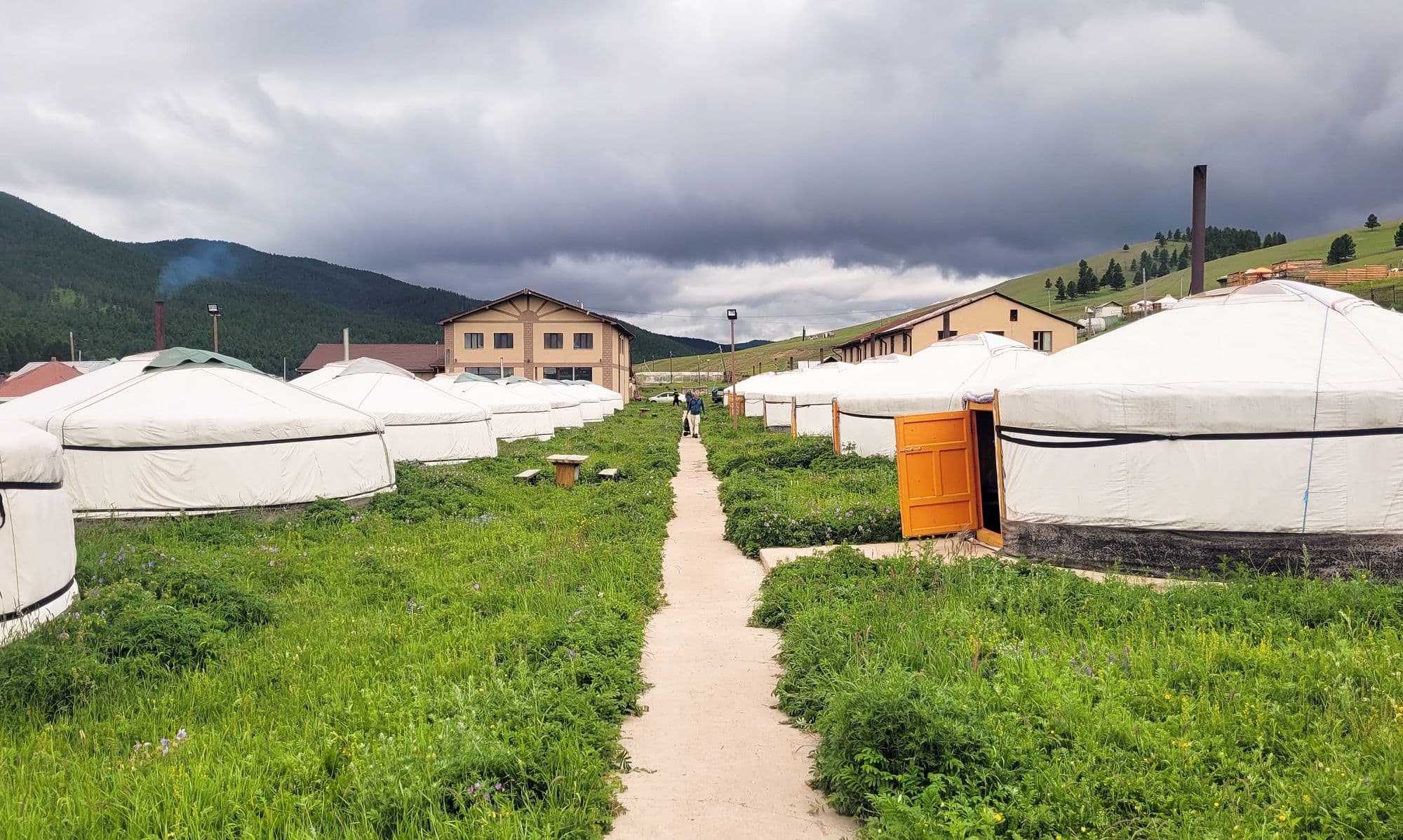
- Ger camps are strung along the eastern and northern shores near Tariat, most within reach of the Khorgo trailhead; no 2026 rate verified from a primary source (unverified)
- Herder families around the lake take paying guests, usually arranged through a driver or guide
- Wild camping is common on the north shore, but there is no shelter from wind
Be aware
Sources (5)
- Тэрхийн цагаан нуур - Монгол Википедиа — Tariat sum location, 2,060 m elevation, about 61 km² area, 16 x 4 km dimensions, 175 km from Tsetserleg, lava damming, Suman outflow, island and bar-headed geese, pike and Selenge-basin fish, CNN listing
- Terkhiin Tsagaan Lake - Wikipedia — 670 km from Ulaanbaatar, the 2022 Ministry of Environment and Tourism / WWF area-loss figures
- Хорго - Монгол Википедиа — Khorgo at 2,240 m, eruption about 9,000 years ago, crater dimensions and slope, lava flow extent, protection from 1965 and national park from 1994
- Khorgo - Wikipedia — cone dimensions, the 'basalt yurts' lava bubbles, larch forest and wildlife, steam and ice in the crater
- Khorgo-Terkhiin Tsagaan Nuur National Park - Wikipedia — park extent and the western marshes as a bird breeding and staging area
Often combined with
Tsenkher Hot Springs
Arkhangai · 470 km
In a larch-edged side valley in Tsenkher sum, a handful of resort ger camps have been built around hot mineral water piped into open-air stone pools. There is nothing ancient or hidden about it - this is Mongolia's spa stop, and its job is obvious after three or four days of dirt roads and cold-water washes. You soak outdoors at about 1,770 metres with the valley walls above you, and on a clear night the steam and the stars do most of the work. Most people arrive from Kharkhorin and leave toward the Khangai lakes the next morning.
- Best months
- Jun–Sep
Kharkhorin and Erdene Zuu Monastery
Övörkhangai · 360 km
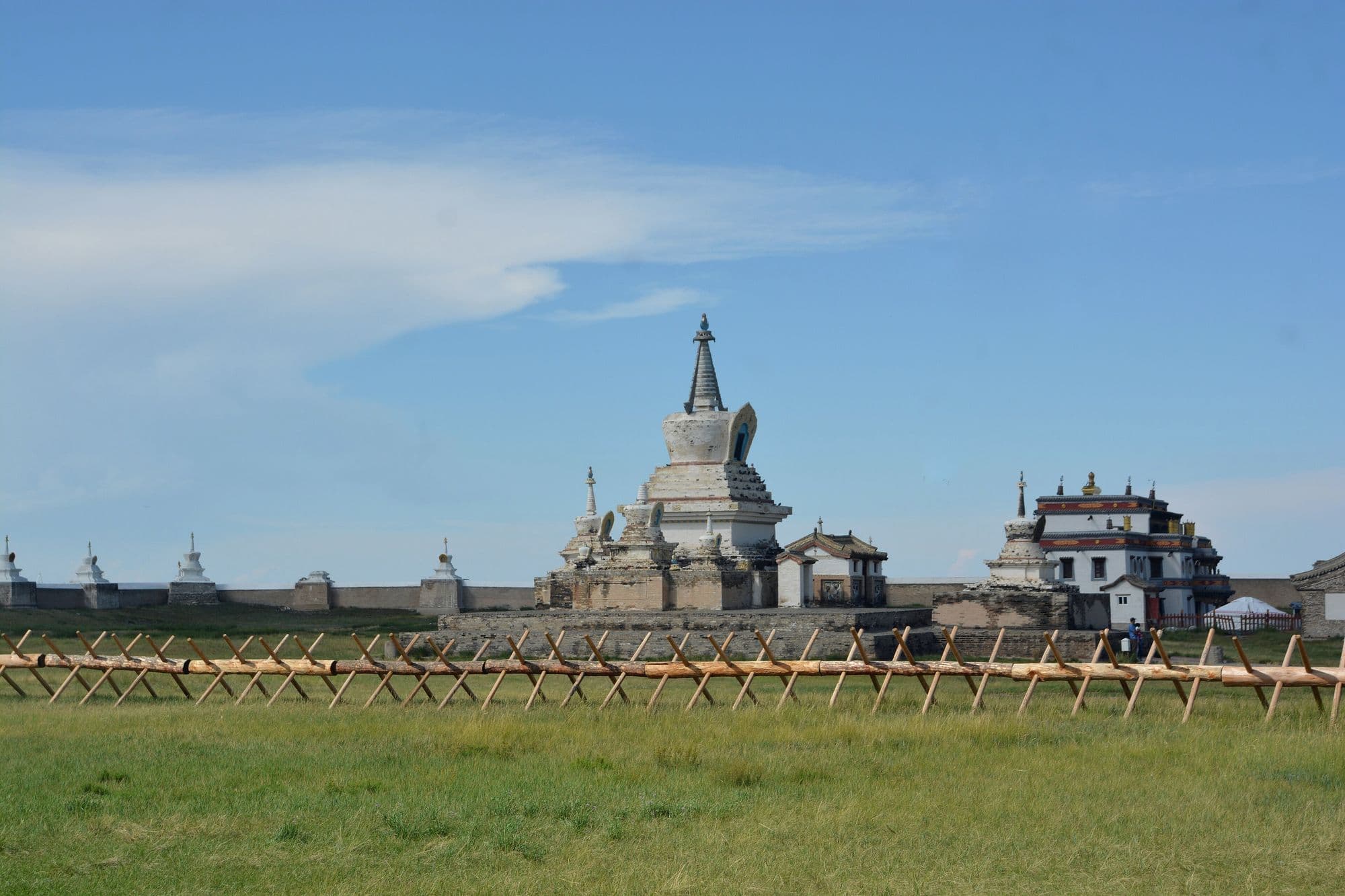
Kharkhorin sits at the lower end of the upper Orkhon valley, where the easternmost Khangai foothills meet open steppe. Just north of the modern town lie the ruins of Karakorum, briefly the imperial capital of the Mongol Empire under Ögedei Khan and the city William of Rubruck described in 1254. Built partly out of its stones in 1585, Erdene Zuu is probably the oldest surviving Buddhist monastery in Mongolia, a walled compound edged with stupas holding a handful of Chinese- and Tibetan-style temples and one working temple that still serves the town. Both sit inside the Orkhon Valley Cultural Landscape World Heritage Site.
- Best months
- Jun–Sep
Ögii Lake
Arkhangai · 340 km
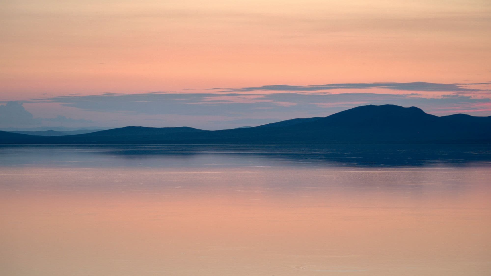
Ögii is a shallow steppe lake of about 25.7 km² at 1,337 metres, fed from the west by the Khögshin Orkhon and drained north-west by the Khooloi into the Orkhon proper. It has been a Ramsar wetland of international importance since 1998 and a BirdLife International Important Bird Area, with around 150 bird species recorded and a well-used migration stopover for ducks, geese and swans. Mongolians come for the fishing. For travellers it is the easiest lake to bolt onto a Kharkhorin trip - a warm swim, a quiet night and birds on the water at first light, for about half a day's detour.
- Best months
- Jun–Sep