Töv· Хустайн байгалийн цогцолборт газар
Hustai National Park (Khustain Nuruu)
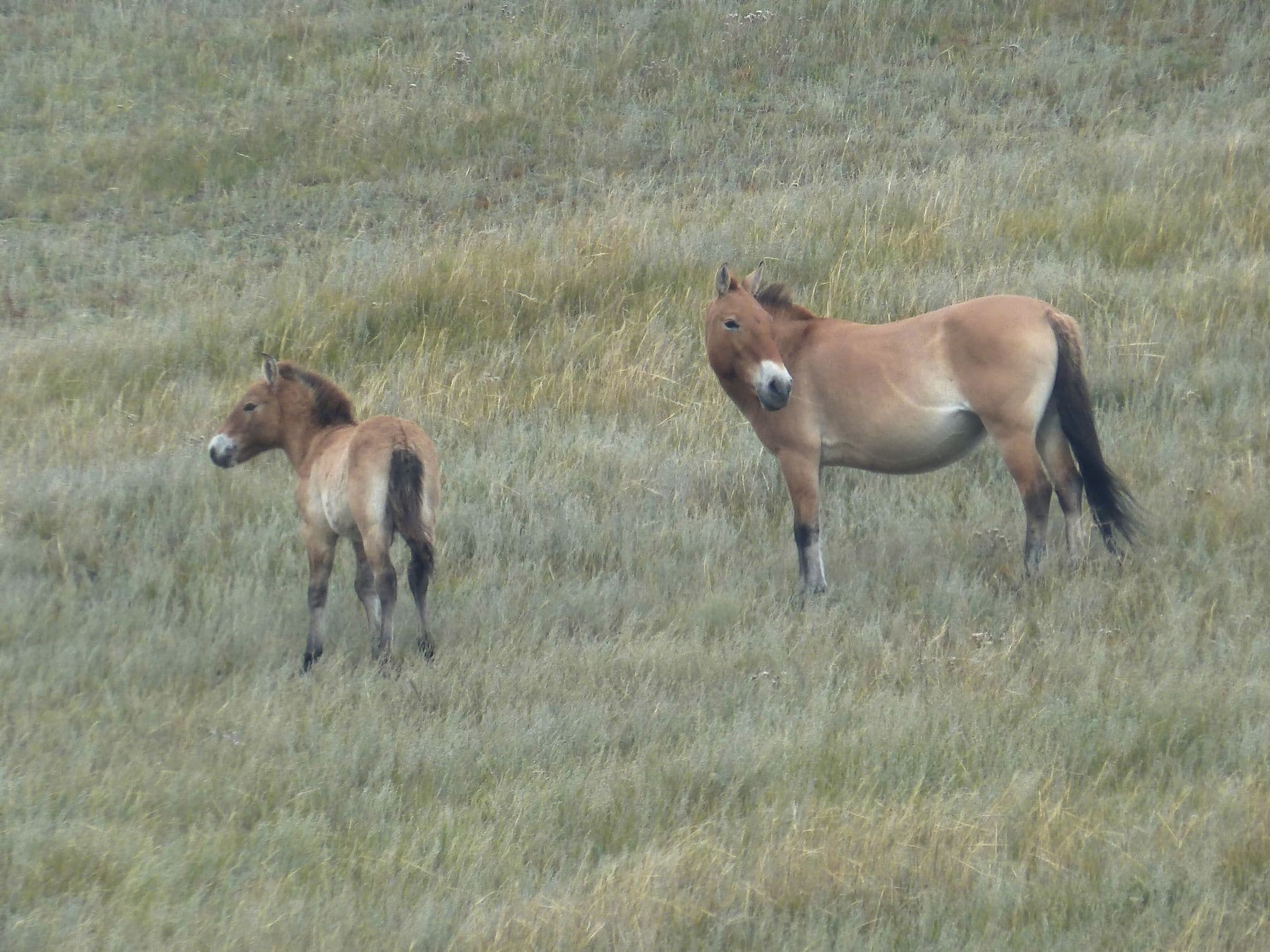
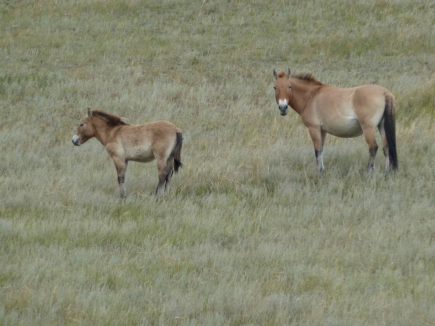
Hustai protects 506 km² of rolling hill steppe and birch pockets in the Khustai range, with the Tuul river running through it. It exists because of one animal: the takhi, or Przewalski's horse, the last truly wild horse, extinct in the wild by the late 1960s and released back here from zoo stock starting in 1992. The reintroduction worked. The area became a nature reserve in 1993 and a national park in 1998, and the population now stands at about 380 horses in 34 breeding harems plus more than 80 young stallions. It is the one place close to Ulaanbaatar where a two-hour drive buys you a realistic chance of wild horses at dusk.
- From Ulaanbaatar
- 95 km
- Drive time
- 1.5-2
- Altitude
- 1,435 m
- Typical stay
- 1
- Best months
- Jun–Sep
- Jan: not a best month
- Feb: not a best month
- Mar: not a best month
- Apr: not a best month
- May: not a best month
- Jun: a best month
- Jul: a best month
- Aug: a best month
- Sep: a best month
- Oct: not a best month
- Nov: not a best month
- Dec: not a best month
Highlights
- Driving out at dawn or dusk to find a takhi harem grazing on the valley sides
- The park visitor centre and its exhibition on the reintroduction programme
- Red deer, which are easiest to see in the same early and late windows
- Marmot colonies on the open slopes through the summer
- The Tuul river cutting through the southern part of the park
- Staying in the park's own ger camp so you can be out before the light goes
- The two marked driving routes south of the camp, a 30-100 km round trip depending on which you take
- Birch stands on the shaded slopes, which give the range its name
Season notes
Takhi are most active and most visible in the first and last hours of daylight; a midday visit usually means distant specks. The park administration warns the access track is hard going in winter snow, during the spring melt floods, and after heavy summer rain, when small and low-clearance vehicles struggle. Wildflowers peak in late June and July.
From Ulaanbaatar
82 km west on the main paved highway toward the western aimags to the Hustai signboard, then 13 km south on a dirt track that follows the power poles. The park itself describes that track as not steep but heavily washboarded, with a sandy section where vehicles get bogged, and difficult for small or low cars in snow, spring melt or after rain. A mid-size or large 4x4 gets through in any season. The road on from the camp into the protected area is too twisty for full-size coaches, so groups pre-book park vehicles.
By air
None.
Where to stay
- The park runs its own Hustai tourist ger camp in the 2nd bag of Argalant sum, Töv aimag; staying there is what makes the dawn and dusk drives possible. No 2026 nightly rate is published on the park's site (unverified)
- Many visitors do it as a long day trip from Ulaanbaatar instead, which means arriving in the wrong light
Be aware
Sources (3)
- Hustai National Park (official site) — takhi population of 380 in 34 harems plus 80+ young stallions, park area over 50,000 ha, reintroduction from 1992, reserve 1993 and national park 1998
- Байршил (Location) - Hustai National Park — 82 km paved plus 13 km dirt access, Argalant sum 2nd bag location, road condition warnings for snow, spring melt and rain, 30-100 km of in-park driving, coach restriction
- Hustai National Park - Wikipedia — 506 km² area, Khustai range in Töv Province, Tuul river
Often combined with
Elsen Tasarkhai (Mongol Els)
Bulgan · 280 km
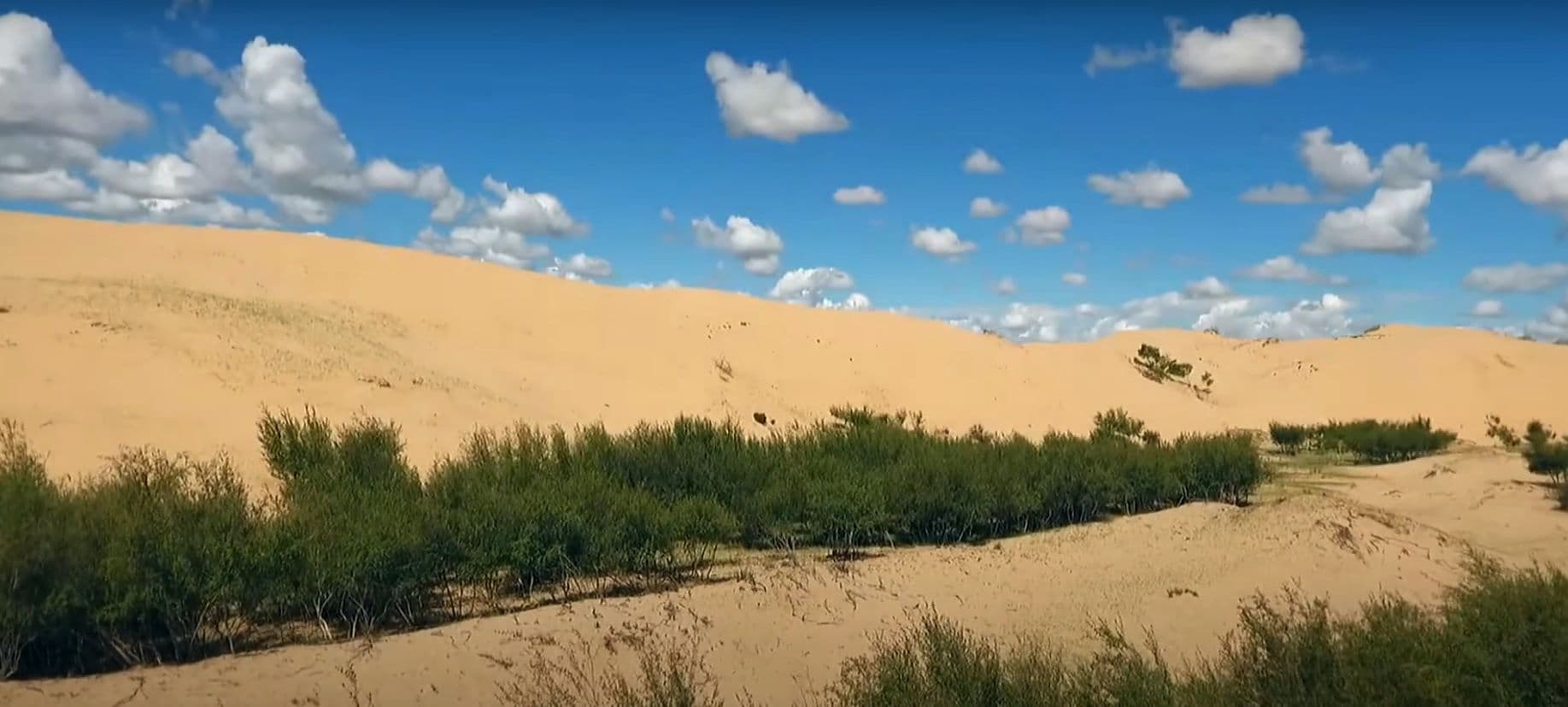
Elsen Tasarkhai is a long ribbon of sand - about 96 km of it - laid across the grassland on the main road west, curving around the western flank of Khugnu Khan mountain. Tour itineraries sell it as a taste of the Gobi without the two-day drive, and the comparison is fair in one way and misleading in another: the dunes are real and you can ride a camel over them at sunset, but the Tarna river runs along their edge and there are willows, saxaul and liquorice growing in the sand. It is the standard overnight between Ulaanbaatar and Kharkhorin.
- Best months
- May–Sep
Kharkhorin and Erdene Zuu Monastery
Övörkhangai · 360 km
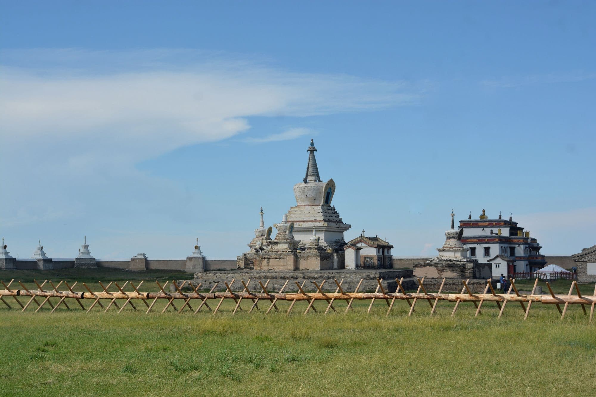
Kharkhorin sits at the lower end of the upper Orkhon valley, where the easternmost Khangai foothills meet open steppe. Just north of the modern town lie the ruins of Karakorum, briefly the imperial capital of the Mongol Empire under Ögedei Khan and the city William of Rubruck described in 1254. Built partly out of its stones in 1585, Erdene Zuu is probably the oldest surviving Buddhist monastery in Mongolia, a walled compound edged with stupas holding a handful of Chinese- and Tibetan-style temples and one working temple that still serves the town. Both sit inside the Orkhon Valley Cultural Landscape World Heritage Site.
- Best months
- Jun–Sep
Ulaanbaatar
Ulaanbaatar
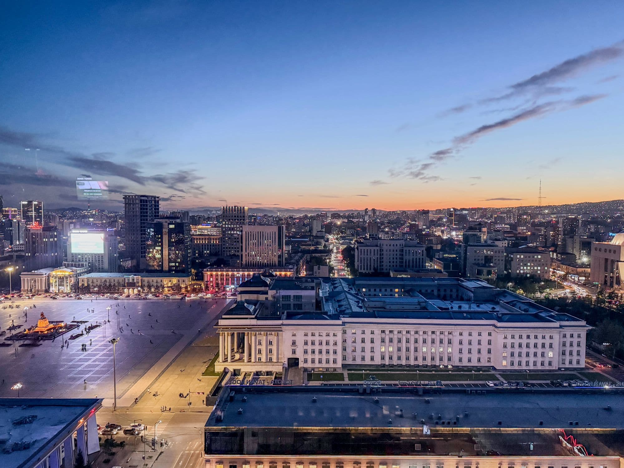
Mongolia's capital holds about 1.79 million people, roughly half the country, in a long valley on the Tuul river at around 1,300 m. It began in 1639 as a movable Buddhist monastic camp that shifted location 29 times before settling permanently on this spot in 1778, and took its present name in 1924. By mean annual temperature it is the coldest national capital in the world. For travellers it is less a destination than the hinge of every central-Mongolia trip: the museums that explain what you are about to drive through, the permits, the drivers and the last reliable ATM.
- Best months
- Jun–Sep